Canary Islands. Atlantic Volcanoes and Trade Winds
Canary Islands. Islands shaped by wind and volcanoes
The Canary Islands may sit close together on the chart, but sailing through them means moving between remarkably different landscapes. Some islands are dry and almost desert-like, others rise into forests and cloud, and some still show very clearly how volcanic activity has shaped them.
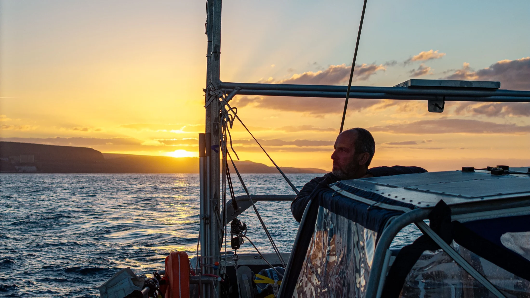
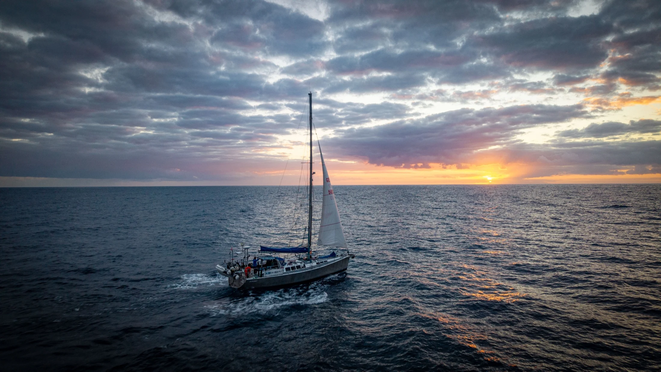
The northeast trade winds are part of the experience here. They accelerate around the higher islands and through the channels between them, so even relatively short passages can bring fast, active sailing. Deep water lies close to the coast, sheltered anchorages are less common than in the Mediterranean, and choosing the right side of an island often matters as much as choosing the destination itself.
Lanzarote
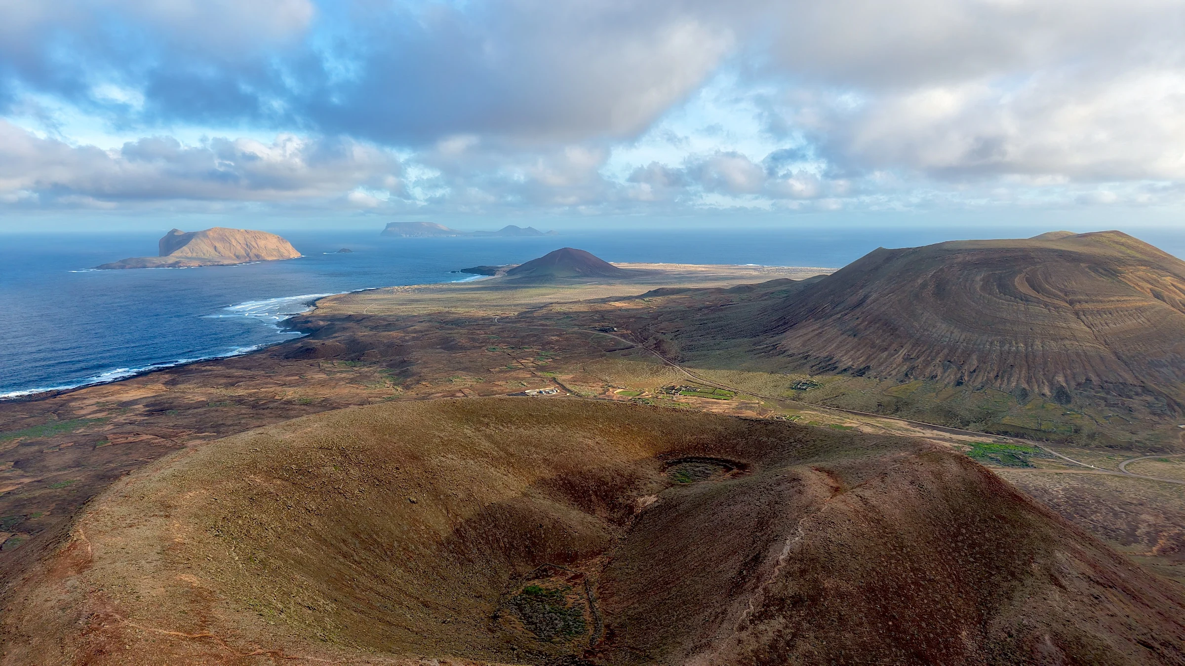
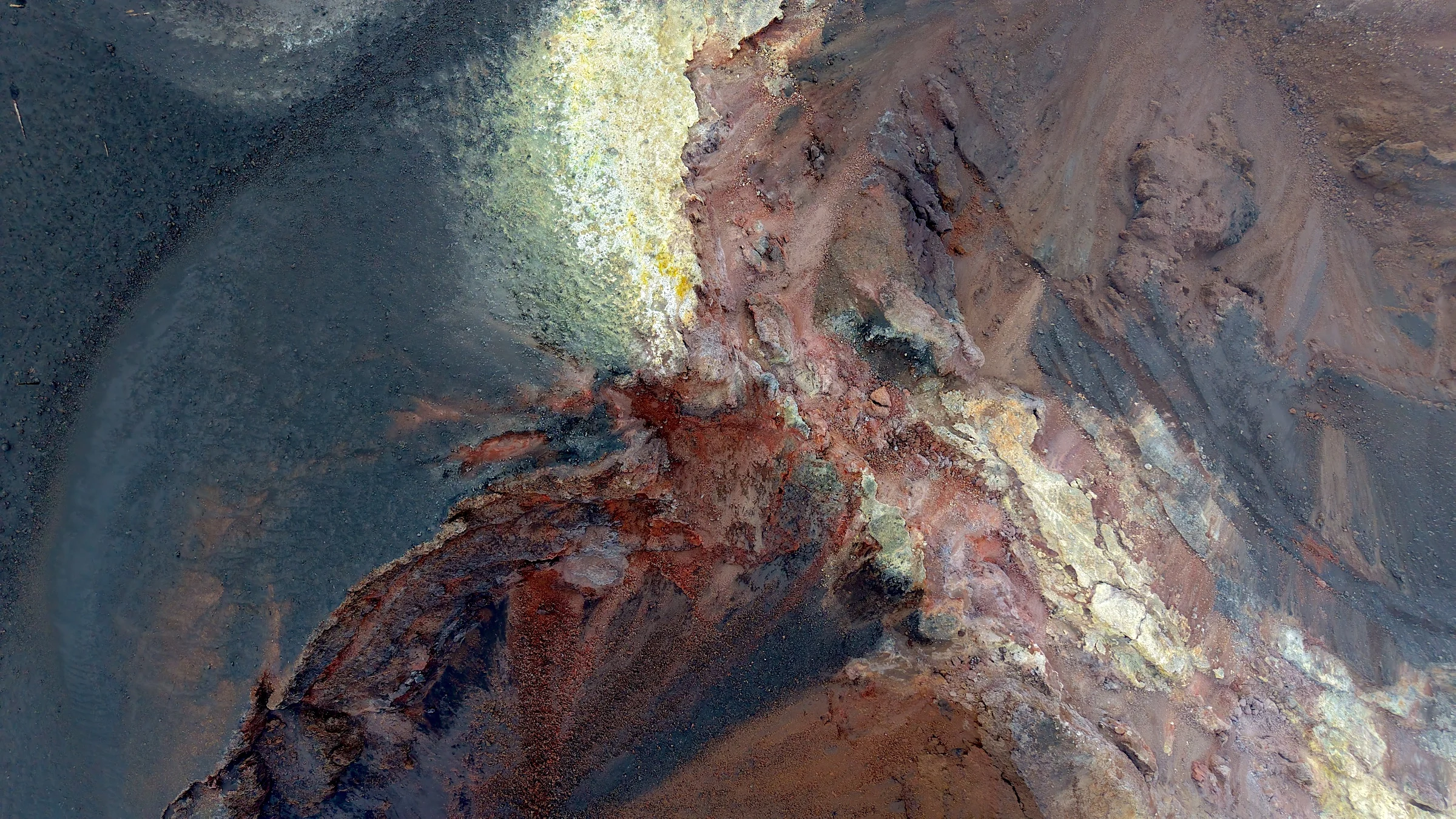
Lanzarote is volcanic in a way that is difficult to ignore. Black lava fields, ochre craters and almost treeless slopes extend towards a coastline shaped by wind and swell.
In the north, the cliffs of Famara rise above one of the island’s best-known surf beaches and face La Graciosa and the smaller islands of the Chinijo Archipelago. Villages and cultivated plots appear between old lava flows, giving the otherwise bare landscape a very particular character.
Along the northern coast, dark volcanic rock, long beaches and the pale outline of La Graciosa create a coastline that is immediately recognisable from the water.
La Graciosa
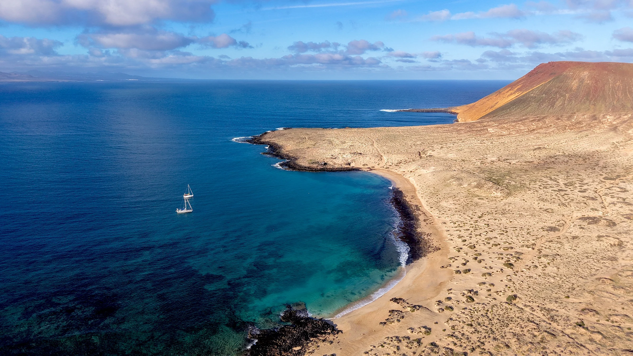
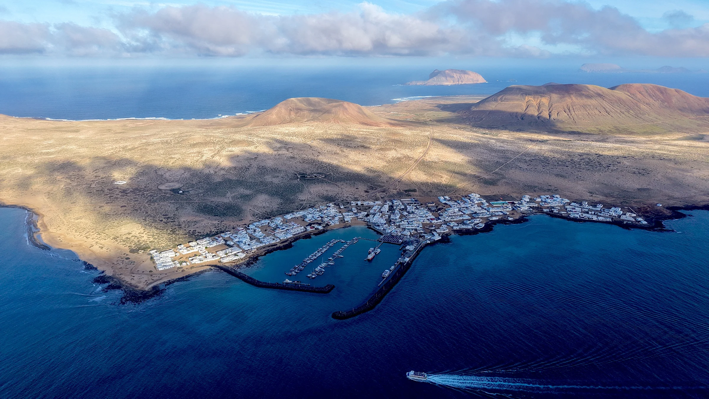
La Graciosa feels much farther away than the short distance from Lanzarote suggests. There are no paved roads. The streets of Caleta de Sebo are made of sand, and away from the village the island is explored mainly on foot, by bicycle or along sandy tracks.
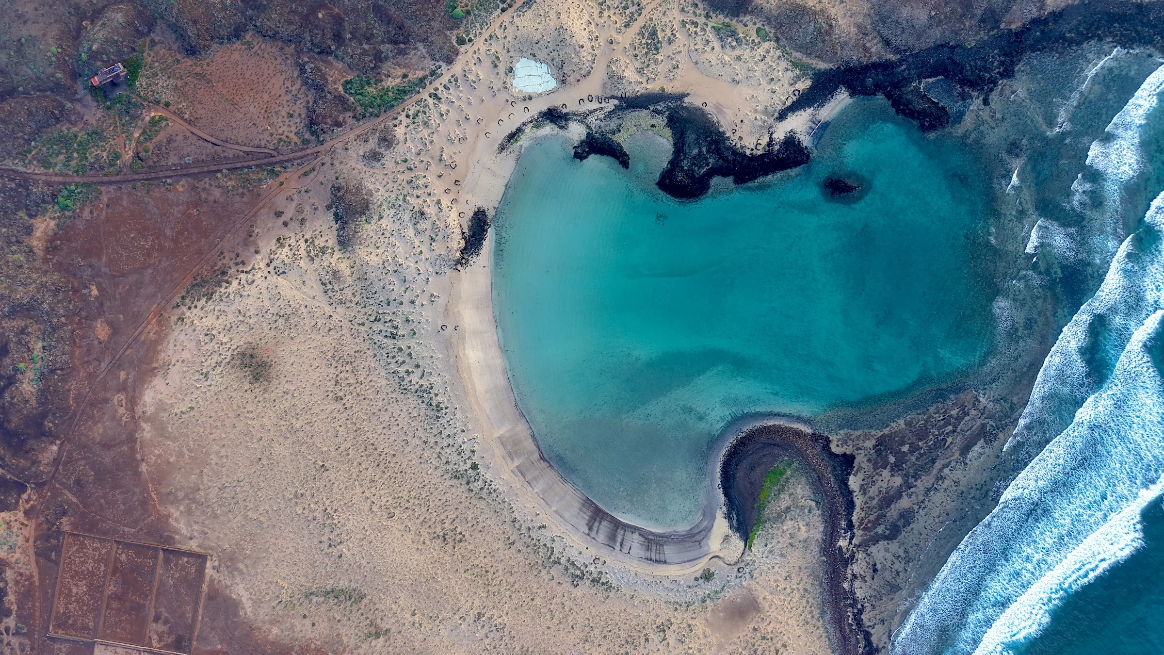
The island forms part of the protected Chinijo Archipelago and lies within an important marine reserve. Volcanic cones rise above pale beaches and clear shallows, while the surrounding waters provide habitat for seabirds and a wide range of marine life.
Caleta de Sebo has the island’s small harbour, but beyond the village development quickly disappears. Beaches, volcanic slopes and open coastline take over again. It is a place where arriving by boat feels entirely natural.
Fuerteventura & Lobos
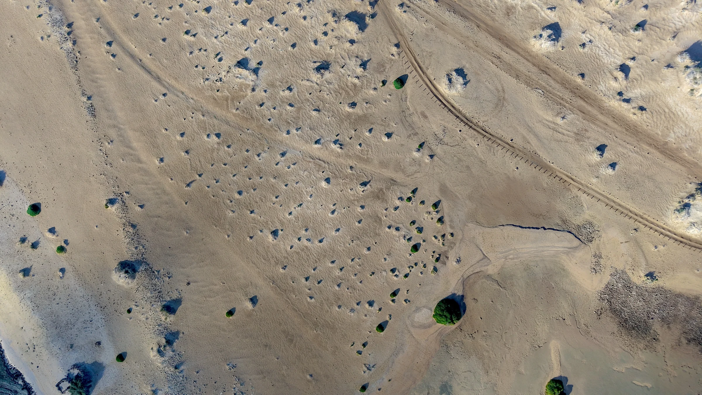
Fuerteventura is lower, drier and more open than the mountainous western islands. Its landscape is shaped by wind: long beaches, pale dunes, eroded hills and wide spaces with very little to interrupt the horizon.
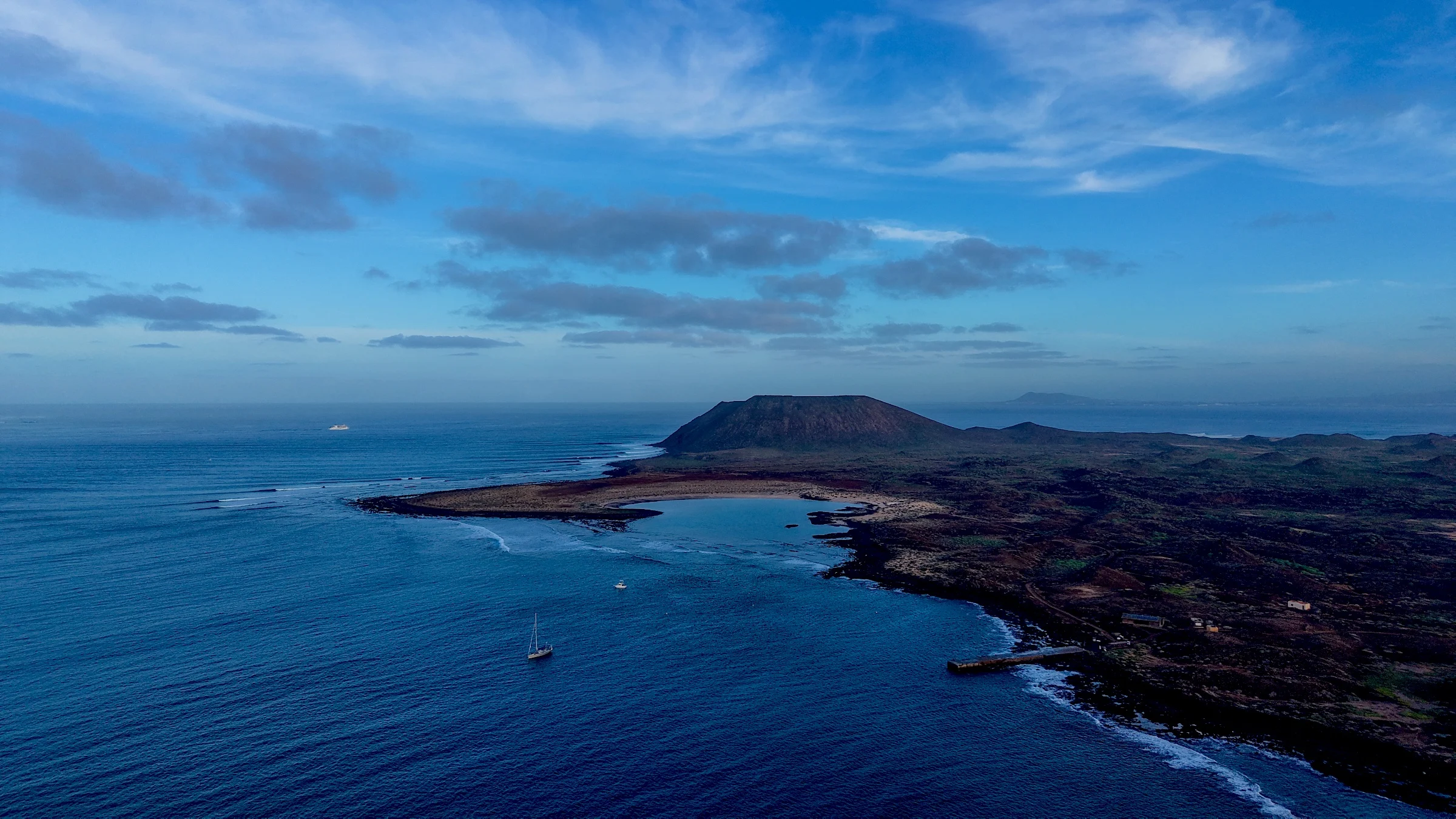
Around Corralejo in the north, the dunes and beaches face the small volcanic island of Lobos, with Lanzarote beyond. The three islands sit close enough together to create a compact sailing area of short passages and very different shorelines.
This is also one of the Canary Islands’ main areas for wind and wave sports. Corralejo and the surrounding coast are well known for kitesurfing, while on Lobos lies Derecha de Lobos, a long right-hand wave that can run for several hundred metres when conditions align and is considered one of the classic surf spots of the archipelago.
Lobos itself is protected and almost uninhabited, with volcanic trails, clear shallow water and very little infrastructure.
Gran Canaria
Gran Canaria changes quickly once you leave the coast. The dry south and the dunes of Maspalomas give way inland to ravines, pine forests, volcanic peaks and old villages built into the mountains.
The Maspalomas dunes are not simply a backdrop to the beach. They form a protected landscape of moving sand, palm groves and a brackish lagoon visited by resident and migratory birds.
Gran Canaria also introduces one of the defining features of sailing in the Canaries: the acceleration zones created as the trade winds flow around the islands. Along parts of the south and south-east coast, the wind can strengthen considerably before opening into the channels towards the neighbouring islands.
The result is a coastline with several different sailing conditions within a relatively small area — protected southern ports, open stretches of coast and stronger wind zones around the island.
Tenerife
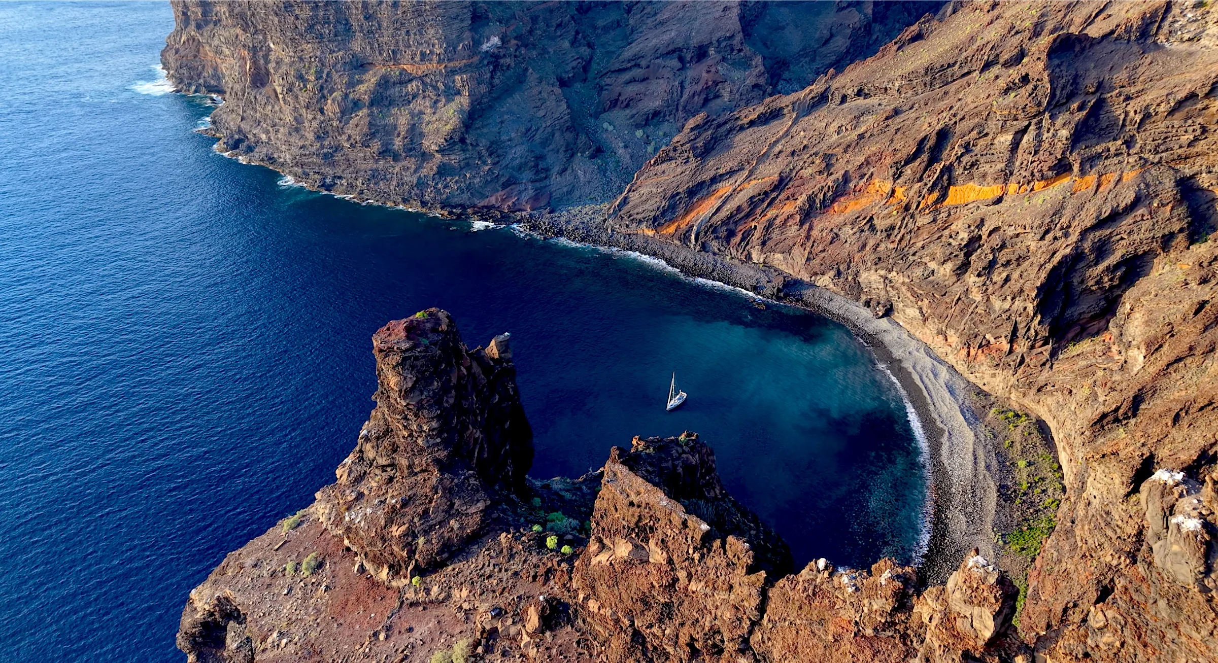
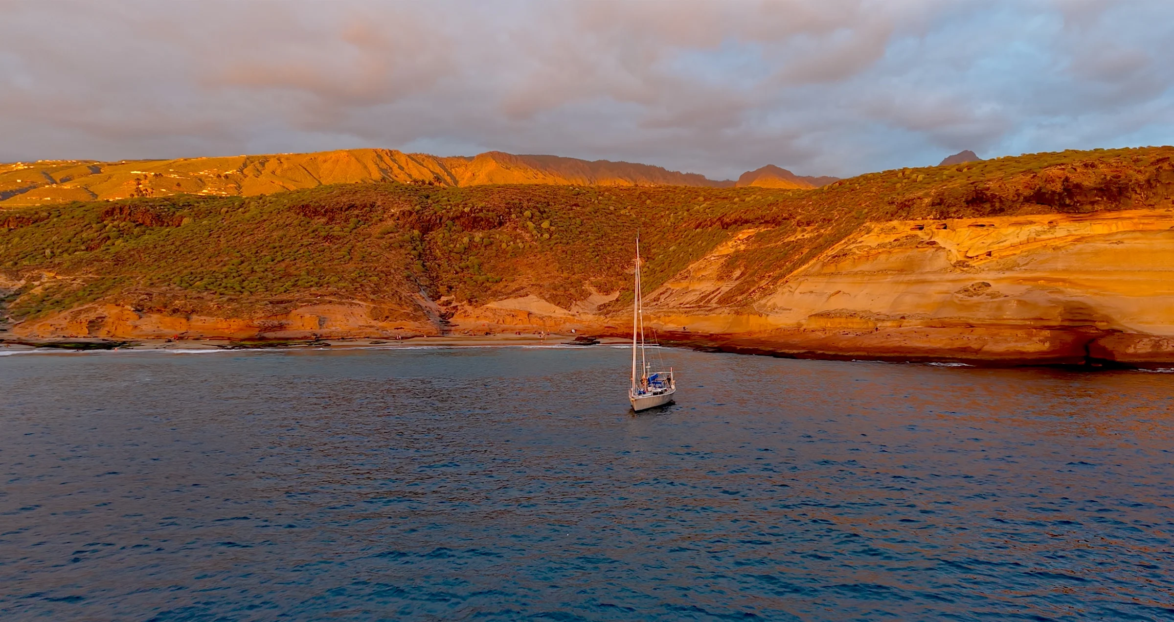
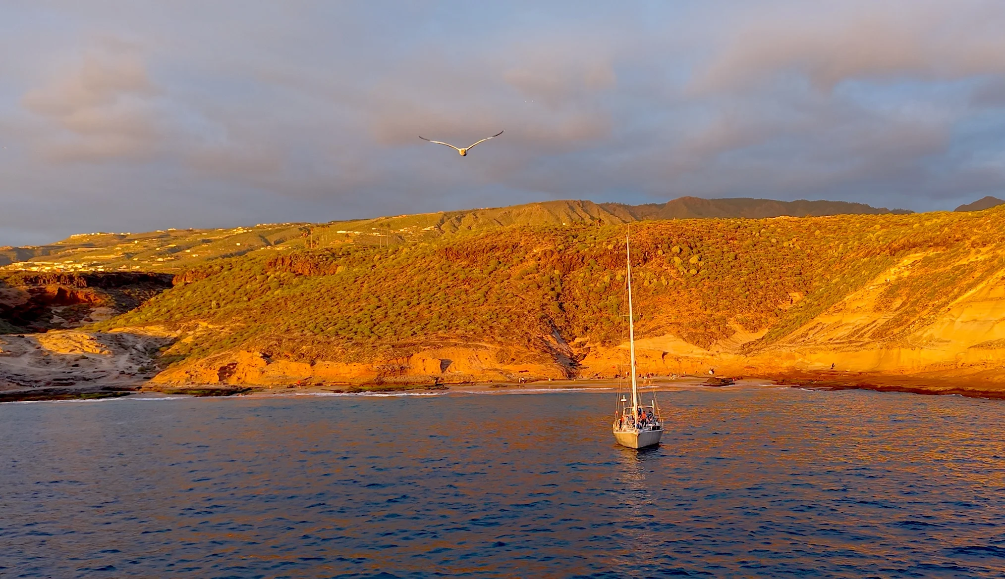
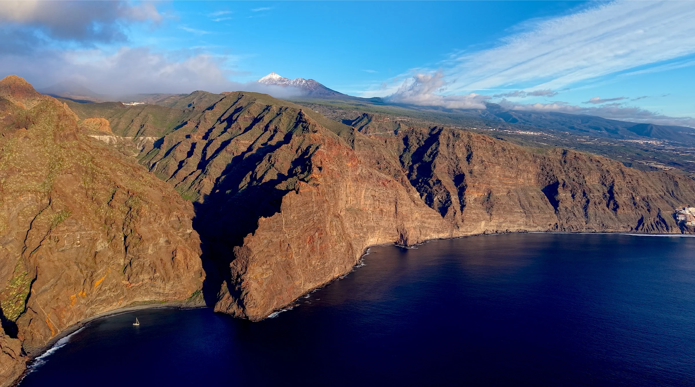
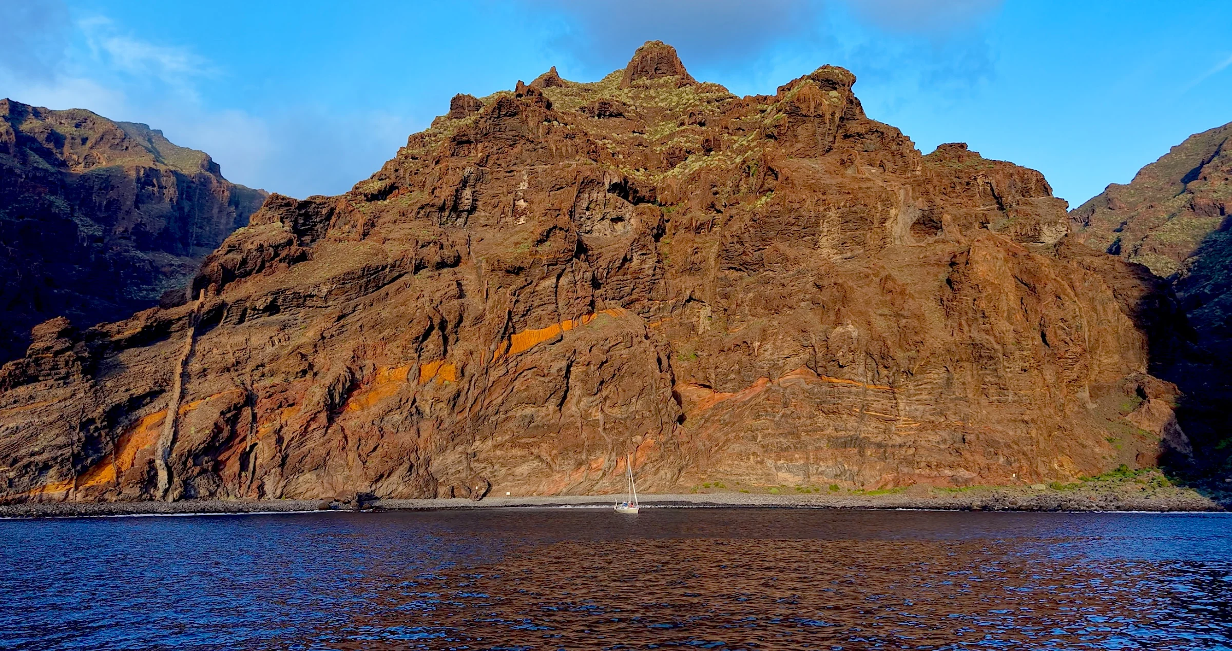
Tenerife is dominated by scale. The island rises from the ocean towards Teide, Spain’s highest mountain, while on the western coast the cliffs of Los Gigantes fall almost vertically into deep water.
Seen from below, the cliffs form a long wall along the coast, with small bays and settlements appearing beneath them.
The channel between Tenerife and La Gomera is also one of the most important marine areas in the archipelago. Short-finned pilot whales and bottlenose dolphins live here throughout the year, while other cetacean species pass through these waters seasonally.
This means whale or dolphin encounters are possible during an ordinary passage between islands rather than only on a dedicated wildlife trip. The same channel is known for strong local wind acceleration, so a relatively short crossing can offer much more active sailing than the distance alone might suggest.
La Gomera
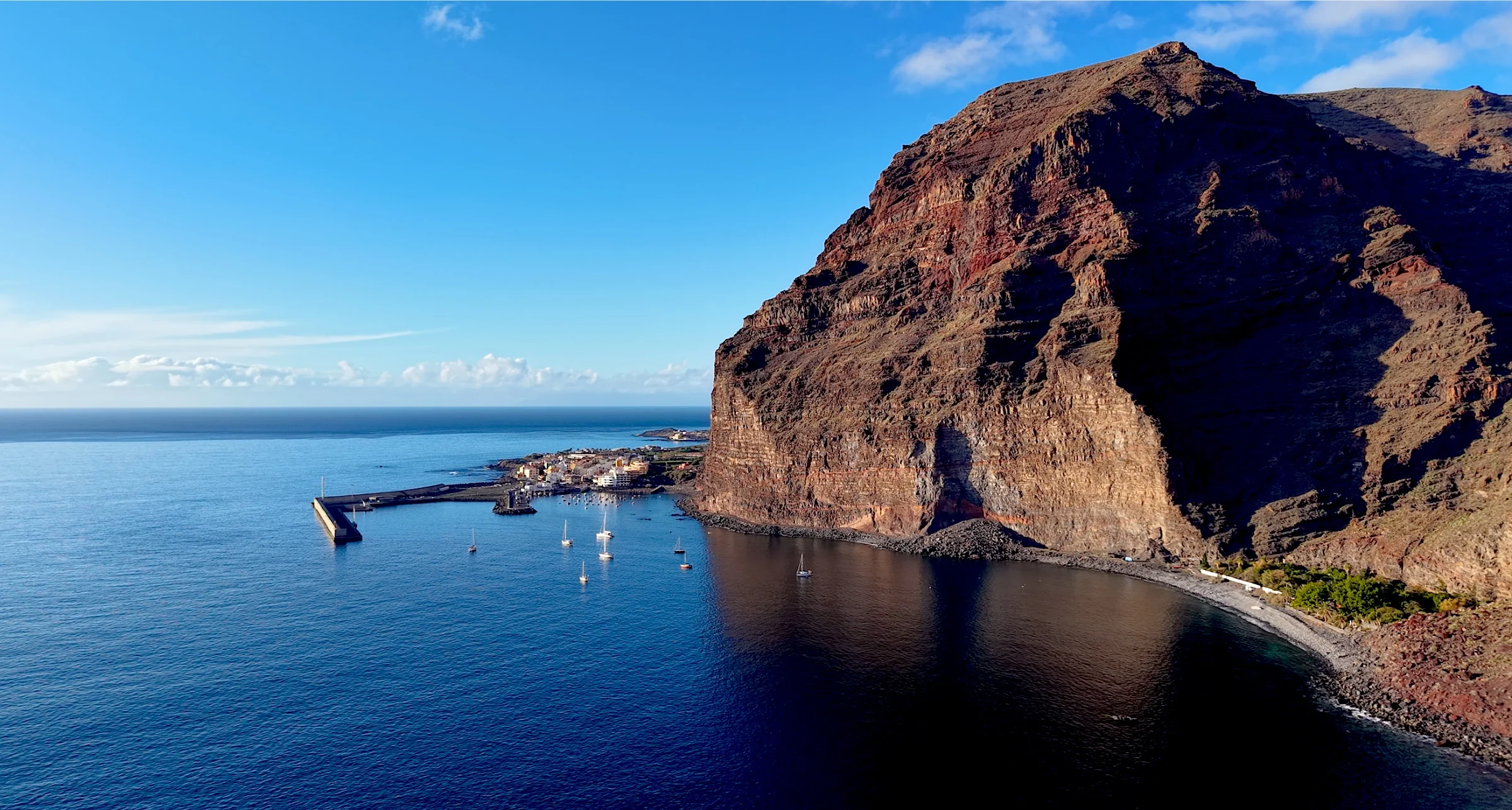
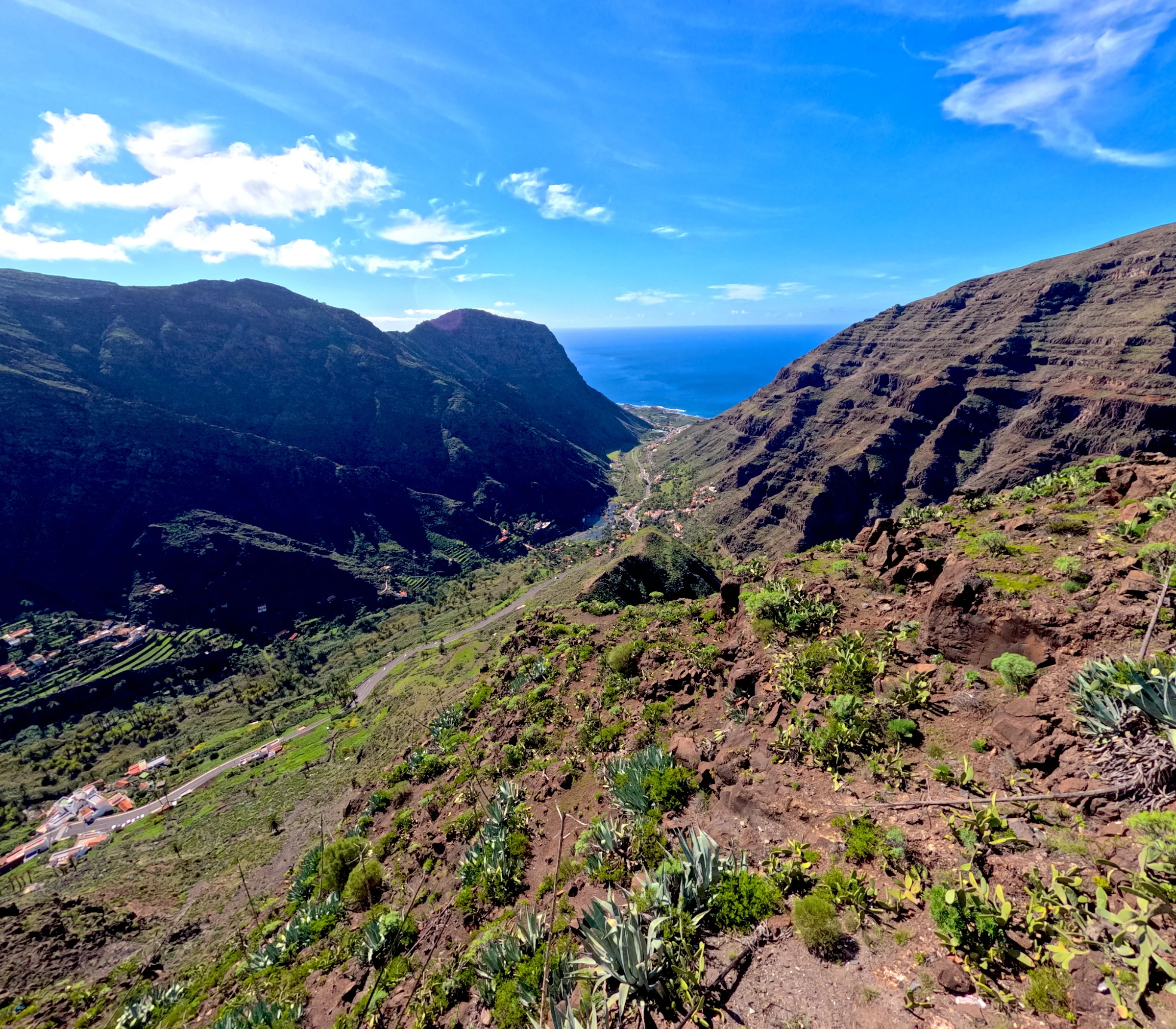
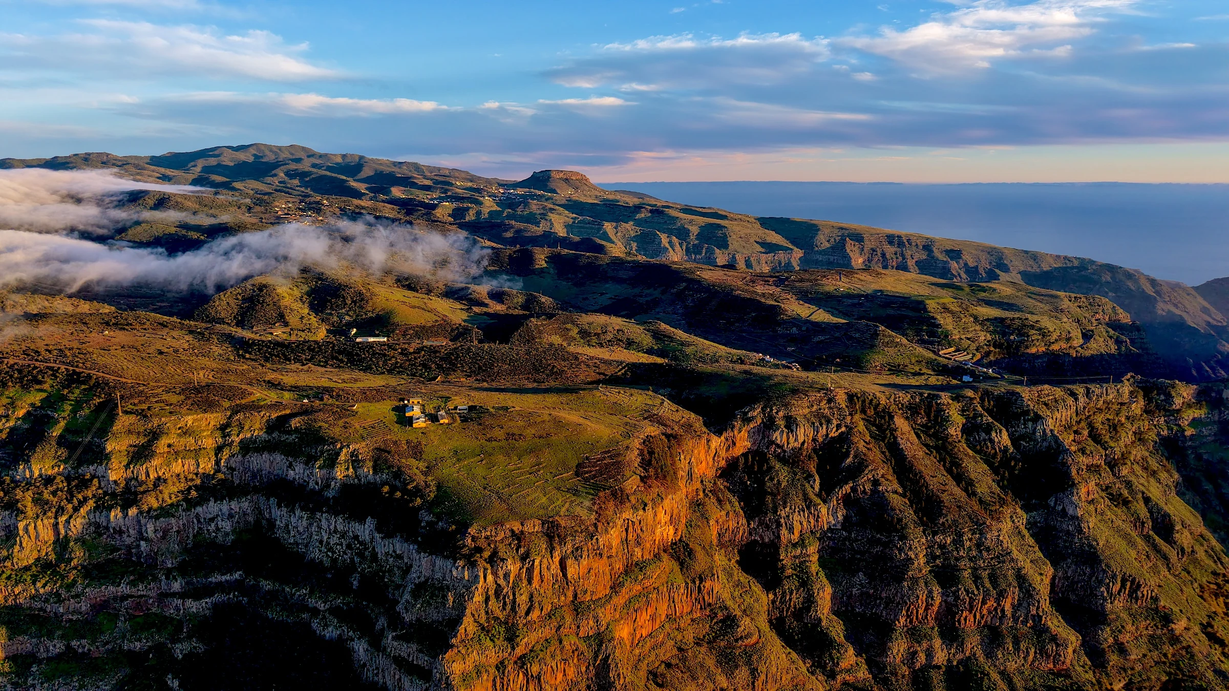
La Gomera feels smaller, greener and quieter than Tenerife. Deep barrancos run from the mountainous centre towards a coastline of cliffs, black beaches and villages built into the mouths of valleys.
At the heart of the island lies Garajonay National Park and its ancient Laurissilva forest. Moist trade-wind clouds gather around the higher ground, feeding laurel trees, moss, ferns and dense vegetation only a few kilometres from the drier coast.
On the western side, Valle Gran Rey descends towards the Atlantic through terraces, palm groves and small settlements. La Gomera is also home to one of the world’s rarest reptiles, the critically endangered La Gomera giant lizard, rediscovered in 1999 after it had been considered extinct.
Approaching the island by boat makes its relative isolation easy to understand. Tenerife may still be visible across the channel, but the coastline, settlements and pace of life already feel quite different.
La Palma
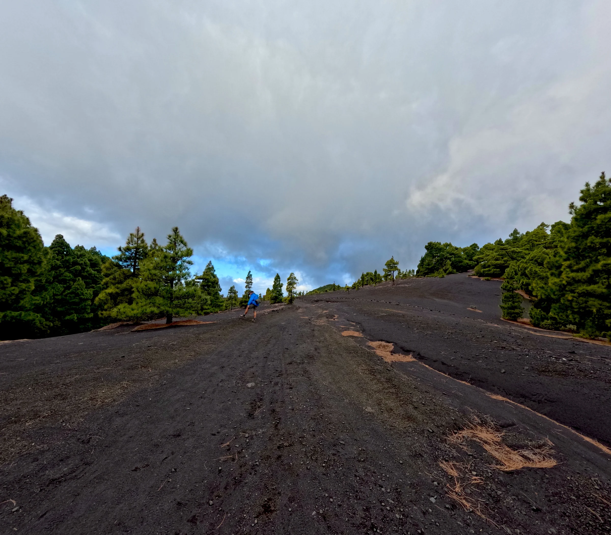
La Palma is greener, steeper and geologically younger than many of the other Canary Islands. Its interior is dominated by the Caldera de Taburiente, cut by deep ravines and covered in Canary pine forest. Above it, Roque de los Muchachos rises into exceptionally clear skies, which is why one of the world’s major astronomical observatories was established there.
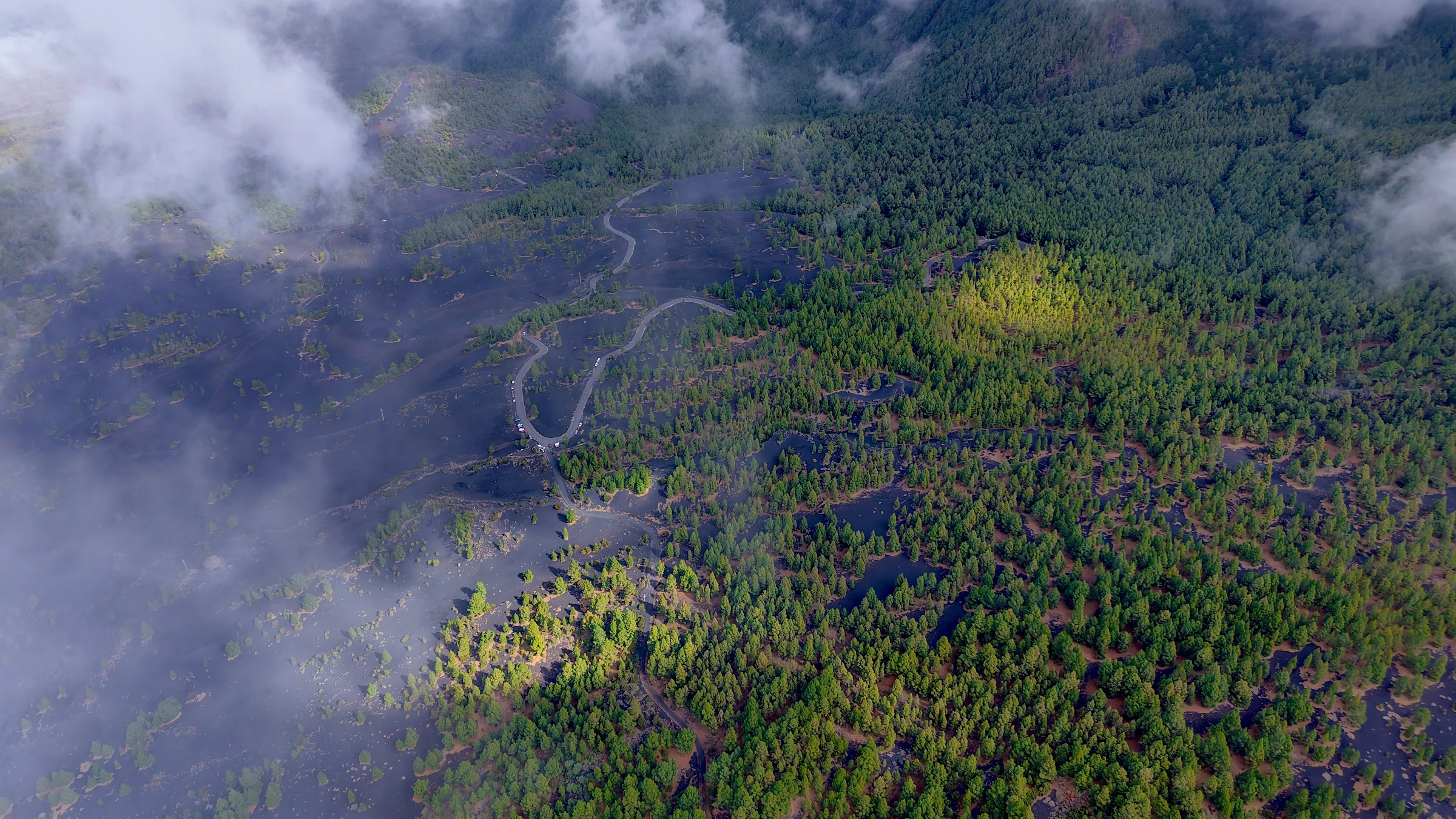
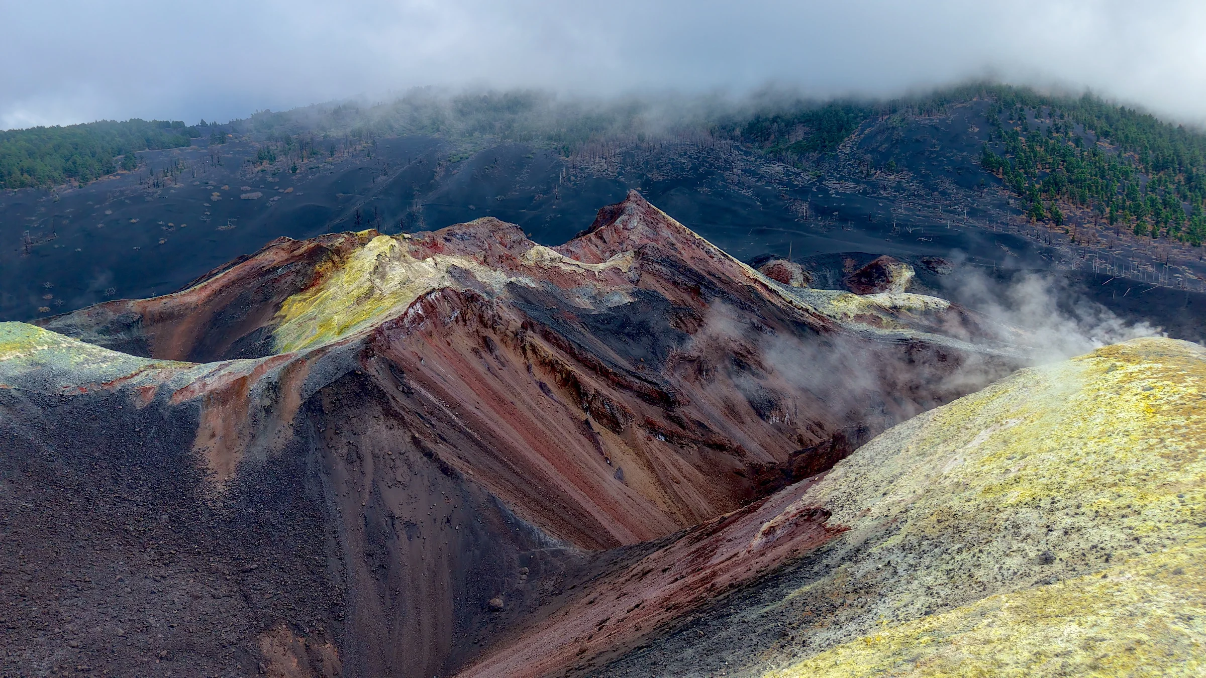
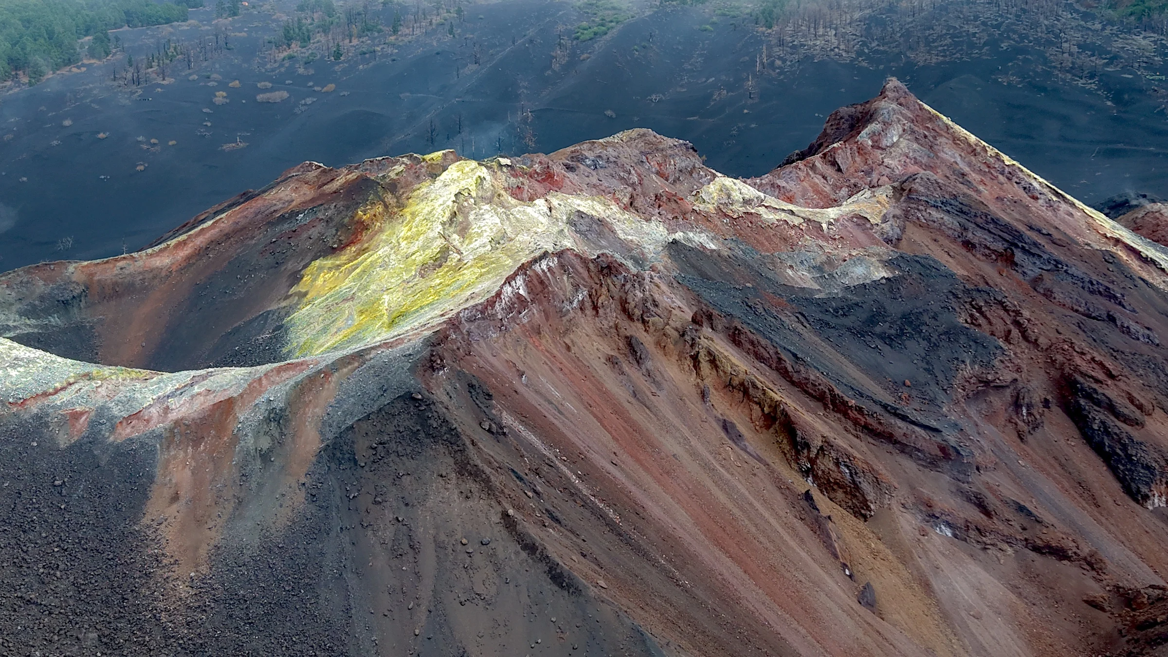
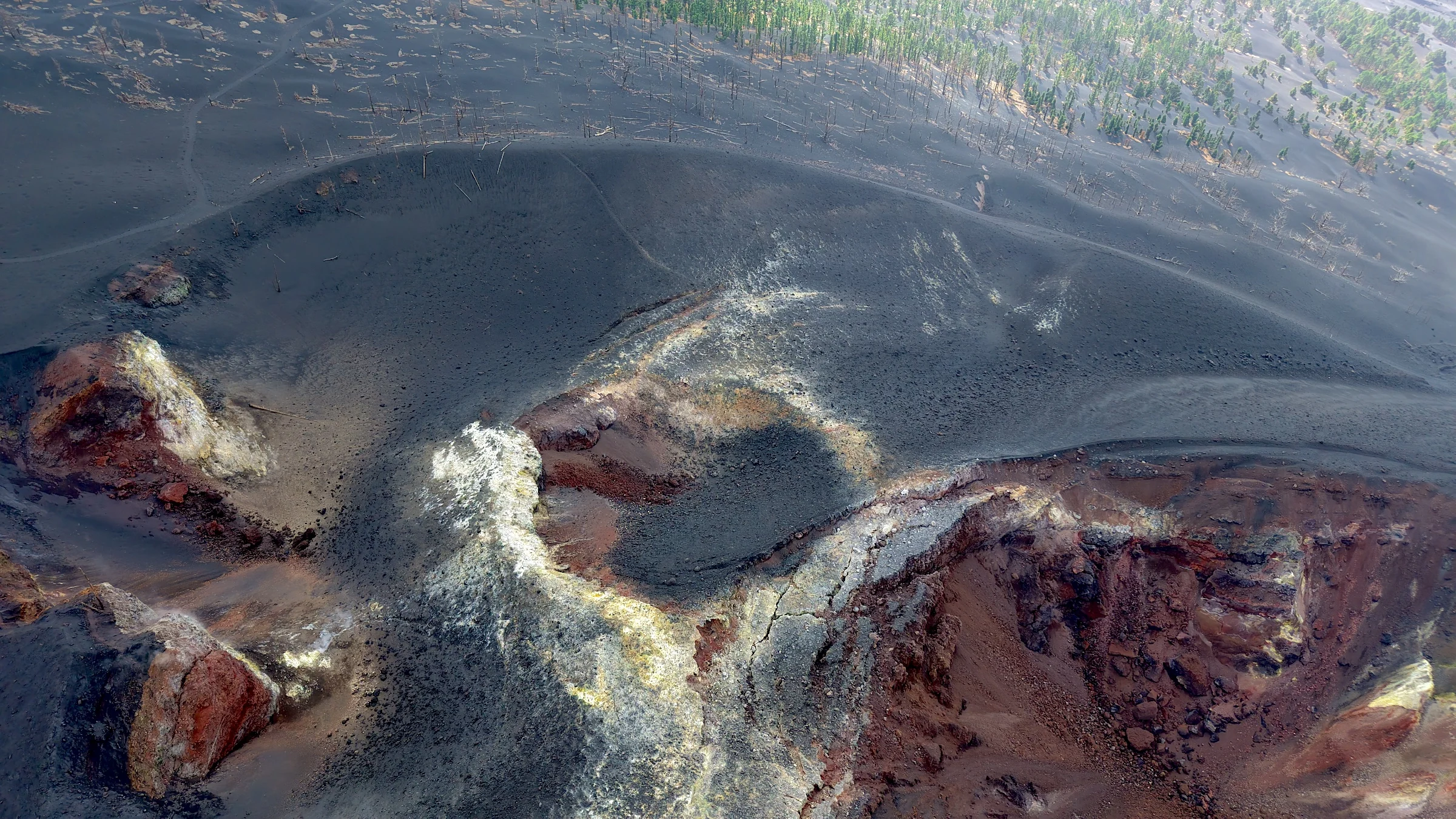
Farther south, more recent volcanic activity becomes visible. The 2021 eruption sent lava all the way to the ocean, creating new coastal land. Older cones continue towards Teneguía and Fuencaliente, so different periods of the island’s volcanic history can be seen within a relatively small area.
Along the coast, fresh black lava meets the ocean below green slopes and pine forest, while deep water begins only a short distance offshore. Dolphins and whales are regularly encountered around La Palma, and the surrounding waters also include one of the Canary Islands’ protected marine reserves.
Short passages, changing worlds
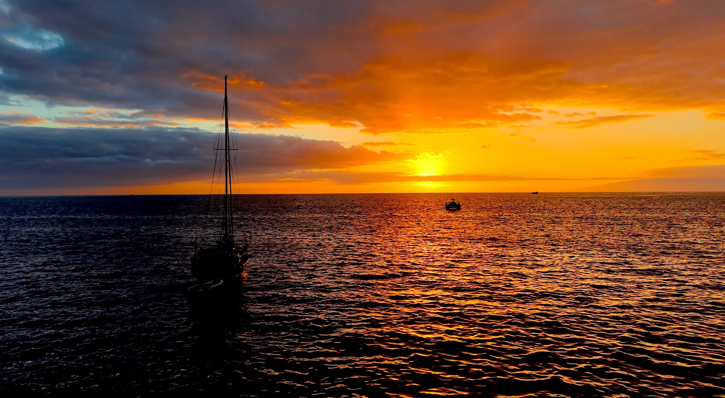
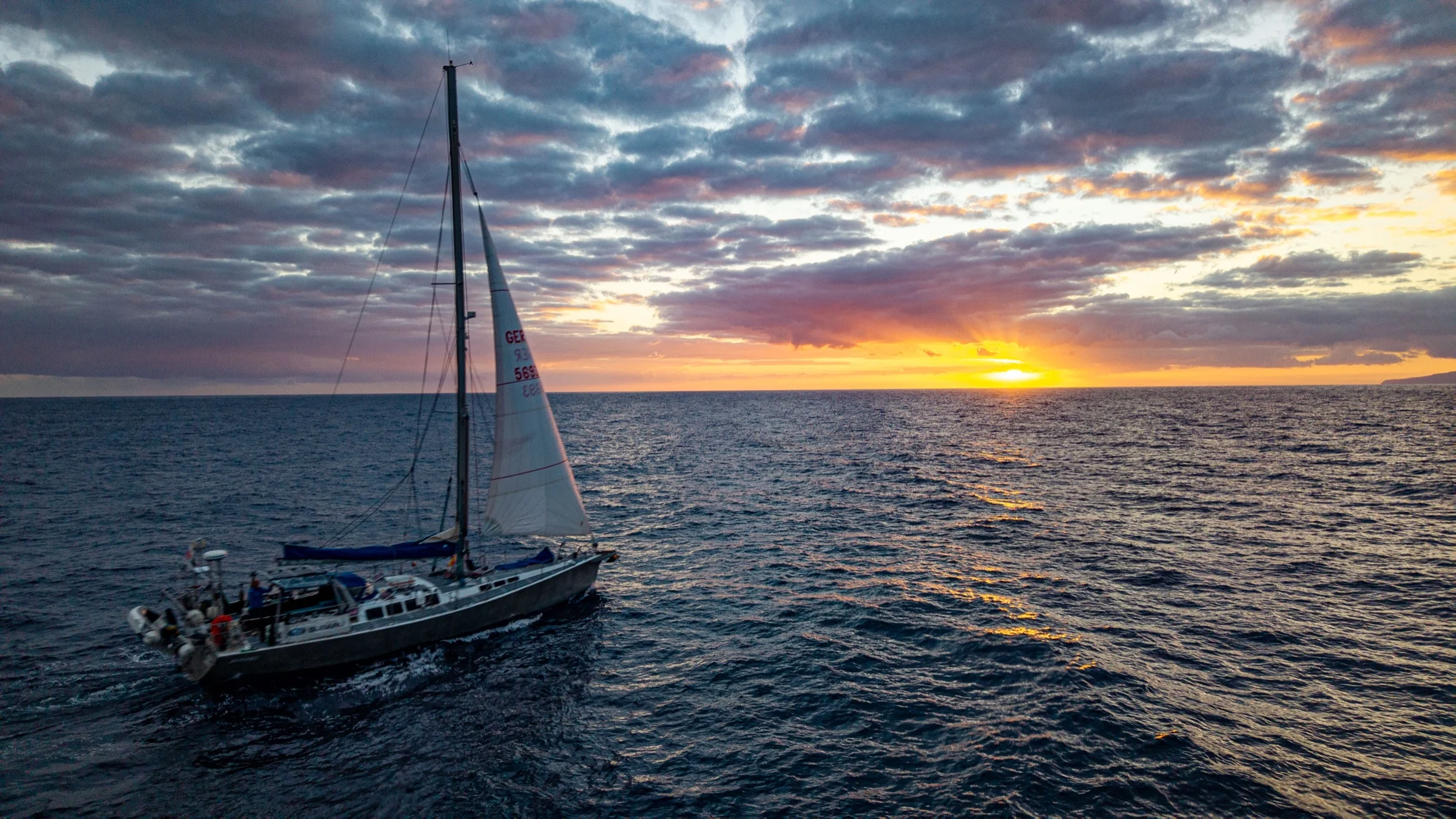
The Canary Islands are especially rewarding to explore under sail because the distances between them are relatively short, yet every passage brings a noticeable change in landscape, coastline and atmosphere.