Tromsø, Lofoten & Sea Kayaking
Northern Norway is a place where travelling by sea often makes more sense than travelling by road. Islands, fjords and fishing villages are spread along a coastline broken into countless channels, bays and skerries, while mountains rise directly behind the water.
Sailing south from the Tromsø region towards Lofoten means moving through this landscape rather than simply passing beside it. The boat gives access to larger fjords and islands; kayaks allow the journey to continue into shallower water, between rocks and small islands, and along stretches of coastline that are easy to miss from a larger vessel.
During summer the long Arctic days leave plenty of time for both. A sailing passage can end with an evening paddle, or a quiet anchorage can become the starting point for exploring the shoreline by kayak.
Tromsø & the Arctic Coast
Tromsø sits among islands, mountains and fjords well above the Arctic Circle. It is a lively northern city, but from the harbour it takes surprisingly little time to leave the urban coastline behind.
West of the city, Kvaløya opens into a much less developed landscape of fjords, fishing villages, beaches and mountain valleys. The exact character of the coast changes with exposure to the open sea: some bays remain protected while nearby headlands face directly towards the Norwegian Sea.
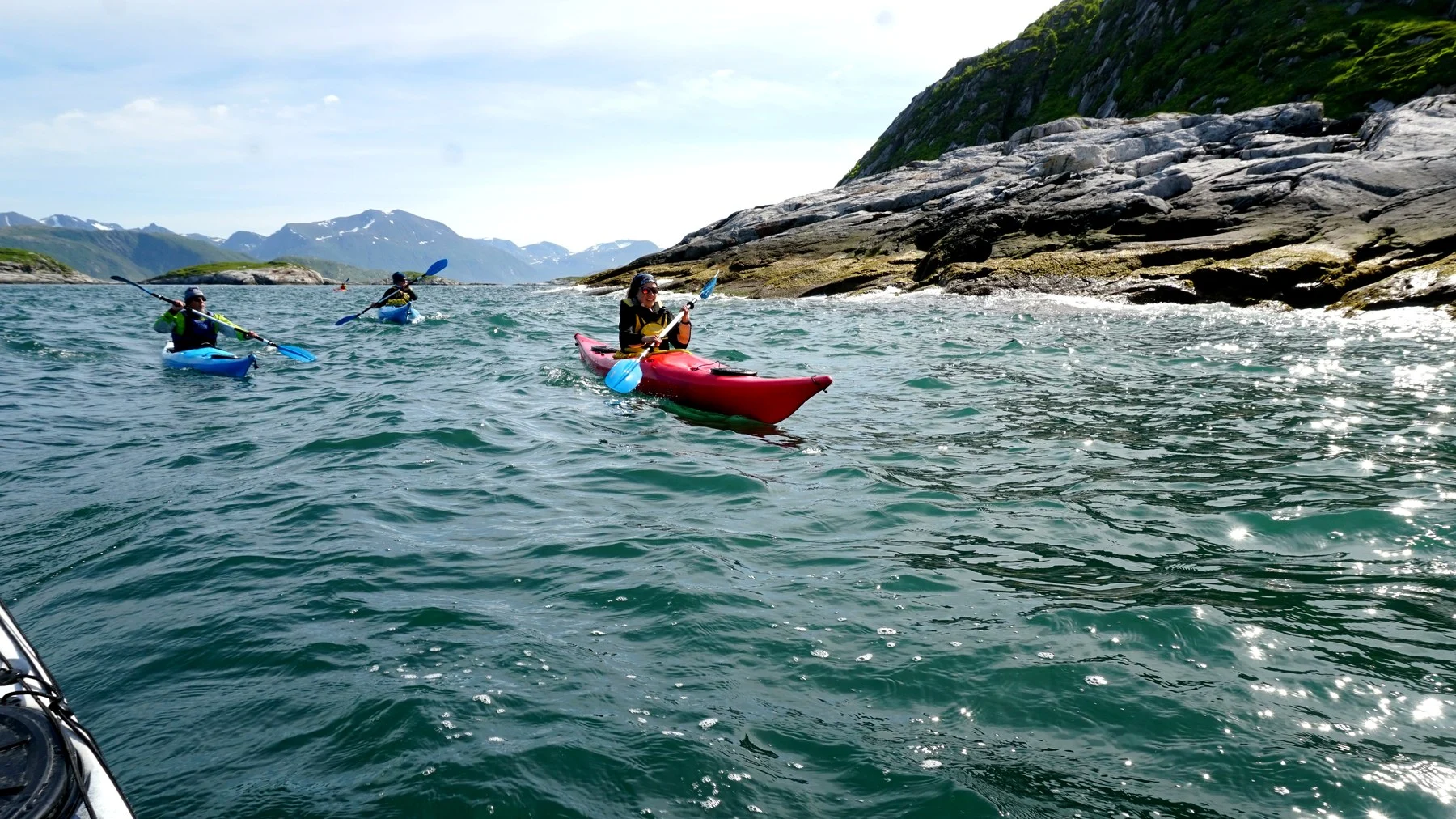
Sea kayaking is particularly well suited to this geography. Around Kvaløya, paddling routes pass small islands and quiet sections of coast where otters, harbour porpoises and white-tailed eagles may be encountered. The choice of location depends strongly on wind and sea conditions, which is part of exploring this coast rather than following one fixed route.
Kvaløya & the Outer Islands
Kvaløya means “Whale Island”, and its western side feels noticeably more exposed than Tromsø itself. Mountains rise above narrow sounds, while small communities sit around sheltered pieces of coastline.
Farther west, the land breaks into smaller islands and skerries. Here the landscape begins to feel less like a mainland coast and more like an archipelago.
For a sailing boat carrying kayaks, these waters offer two different scales of exploration. The yacht can move between fjords and islands, while the kayaks make it possible to follow the shoreline closely, enter quieter water and land in places where there is little reason for a larger boat to approach.
In summer this can continue well into the evening beneath the Midnight Sun, when the sun remains above the horizon and the light changes slowly rather than disappearing into night.
Lofoten
Lofoten rises from the sea as a long chain of islands between the Norwegian Sea and Vestfjord. Mountains occupy much of the land, leaving fishing villages, roads and small harbours squeezed into the lower ground beside the water.
The islands have been connected to the sea for thousands of years. Fishing remains central to their identity, particularly the winter arrival of skrei, the migratory Arctic cod that comes south from the Barents Sea to spawn around Lofoten. The seasonal fishery helped create the old fishing villages, the rorbu cabins used by visiting fishermen and the stockfish tradition that linked these small Arctic communities with markets much farther south in Europe.
Arriving under sail gives that history a different perspective. Harbours that now welcome cruising yachts were built around working boats long before road connections tied the islands together.
Svolvær & Austvågøya
Svolvær is one of the main harbours of Lofoten and a natural point from which to explore the eastern part of the archipelago.
The town sits between the water and steep mountain slopes, with a maze of smaller islands and channels immediately outside the harbour. Fishing boats, coastal vessels and yachts all use the same waterways, and the sea is still closely connected to everyday life here.
Kayaking directly from Svolvær makes it possible to move through this smaller-scale geography at water level, leaving the harbour for islands and narrow coastal passages only a short paddle away. Guided sea kayaking operates directly from Svolvær and is used both as an introduction to paddling and as a way of exploring the history and coastline of the town from the water.
Trollfjord & Raftsundet
Trollfjord is hidden inside Raftsundet on the eastern side of Austvågøya. The entrance is only around one hundred metres wide, with mountains rising to more than a thousand metres around the fjord.
There is no road into Trollfjord. The only way to reach it is from the water.
That alone makes it particularly suited to a sailing route.
The approach through Raftsundet also passes an area with a large population of white-tailed sea eagles. They are frequently seen above the channels and islands, along with other seabirds and occasional seals.
Inside the fjord, the scale changes quickly. A relatively narrow entrance opens into stiller water beneath steep mountains, making it a place where arriving slowly under sail or continuing in a kayak feels very different from simply visiting from the road — because there is no road to begin with.
Henningsvær
Henningsvær is built across a group of small islands off the southern side of Austvågøya. Bridges now connect them to the larger island, but the shape of the village still belongs to the sea.
Harbour channels run between houses, workshops and old fishing infrastructure. Stockfish racks remain part of the working landscape, while galleries, cafés and small businesses have gradually joined a community whose history is closely tied to the Lofoten fishery. Around five hundred people live here permanently.
From a kayak, Henningsvær becomes almost a different village. Instead of walking along the harbour, it is possible to paddle through it and continue between the surrounding islands and skerries.
Sea kayaking here is also used as a way to observe coastal bird and marine life, with the route changing according to wind, waves and conditions.
For Mirabo, this combination works naturally: arrive under sail, anchor or stop in the harbour, and continue exploring at the scale of the kayak.
Reine, Hamnøy & Reinefjord
Farther west, the mountains close more tightly around the coast.
Reine lies between Vestfjord and Reinefjord, spread across small islands connected by bridges beneath steep mountain walls. Fishing is still active here, with fish reception and processing remaining part of the local economy rather than simply a piece of history.
Nearby Hamnøy sits among the same network of islands and channels, with traditional red rorbu buildings standing directly beside the water.
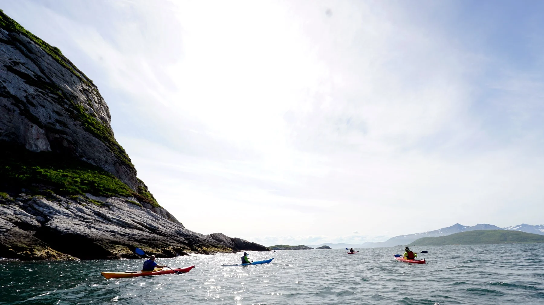
Reinefjord is one of the places where kayaking adds something that a larger boat cannot. Sitting only a few centimetres above the surface changes the scale of the mountains, while narrow passages and small islands can be explored slowly and almost silently.
Kayaking routes operate around Reinefjord and Hamnøy, but even organised trips deliberately avoid one rigid itinerary, adapting the route to weather and sea conditions.
With a sailing boat as the base, the same principle can extend over several days: move to another anchorage when conditions suit it, lower the kayaks and continue from there.
Moskenesøya & Å
Towards the western end of the road-connected Lofoten islands, Moskenesøya becomes increasingly mountainous and narrow.
The fishing village of Å sits close to the end of the archipelago and preserves much of the structure of a traditional Lofoten fishing community. Old boathouses, fishermen’s cabins, a cod-liver-oil factory, smithy and bakery remain part of the village and its fishing museum.
This far west, the open Norwegian Sea feels much closer. Sheltered fjords sit only a short distance from an outer coast exposed to ocean swell and weather, creating very different conditions on opposite sides of the same island.
For sailors and paddlers, that makes local judgement particularly important. A calm fjord may offer an easy afternoon on the water while the outside coast remains completely unsuitable for kayaking.
Sea Kayaking from the Boat
Carrying kayaks aboard changes the way this coastline can be explored.
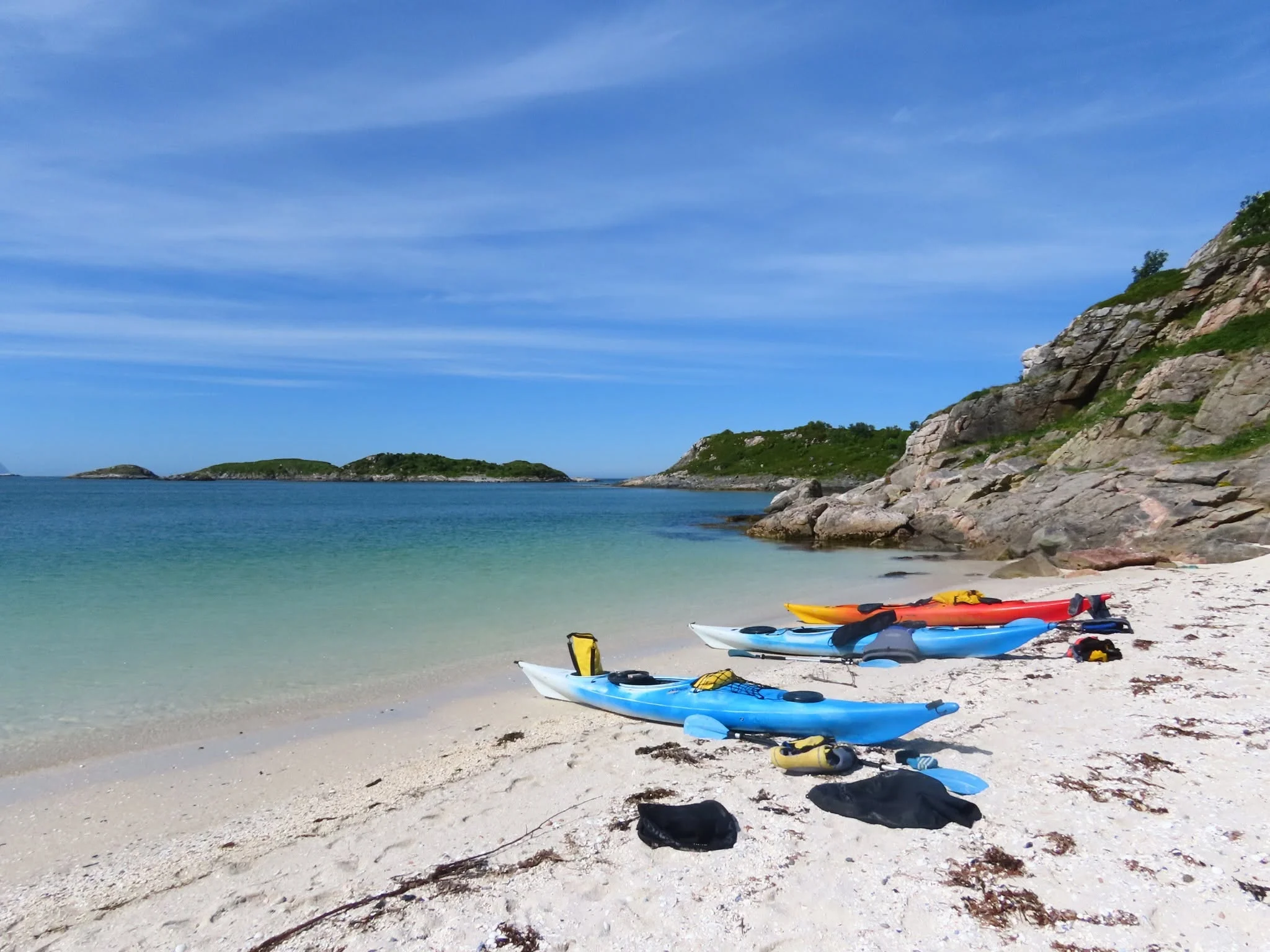
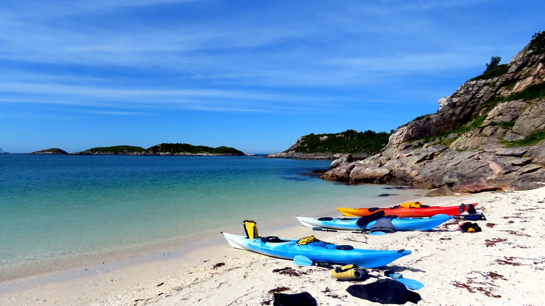
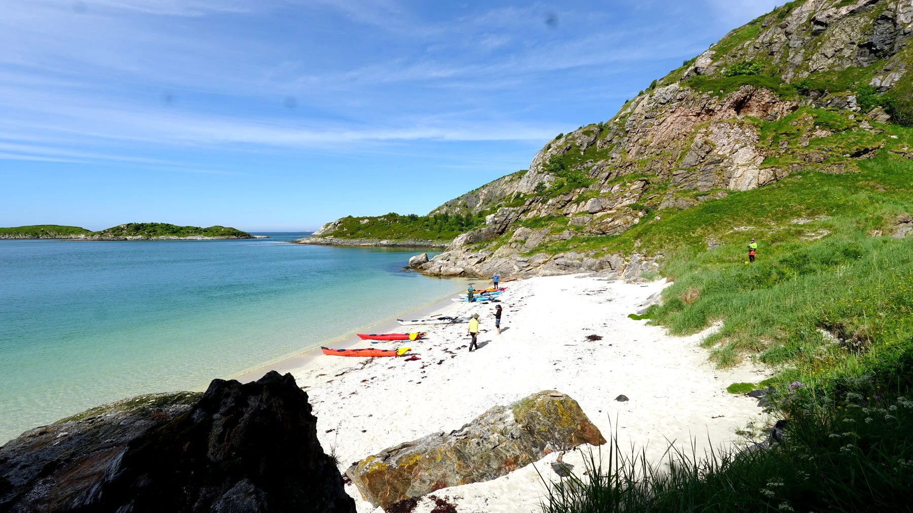
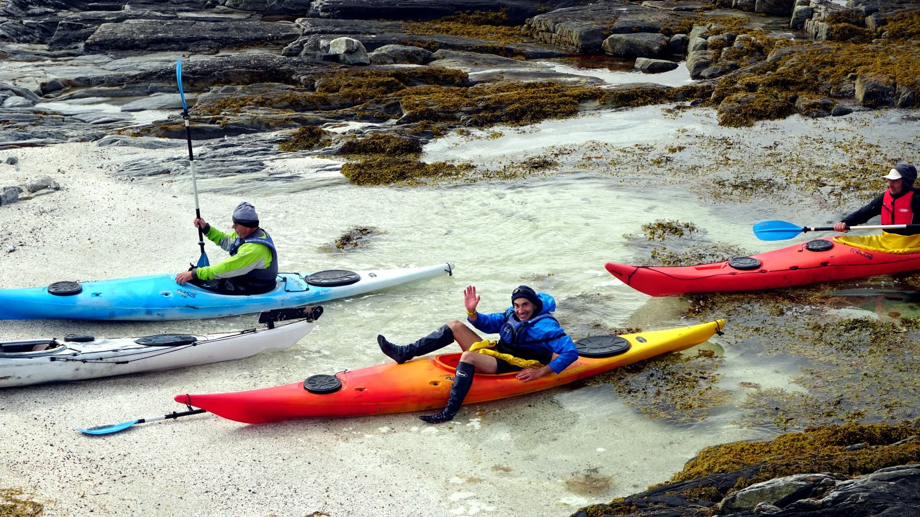
The sailing boat handles the larger distances — between islands, fjords and villages — while the kayaks take over once the scale becomes smaller. They can follow a shoreline closely, move between skerries, enter shallow bays and reach beaches or small islands without needing a harbour.
It also removes the need to choose one fixed kayaking base.
One day the kayaks may be launched beside a fishing village; another from a quiet anchorage beneath the mountains. Around Tromsø and Lofoten, even commercial paddling routes are commonly chosen according to the weather because wind, waves, current and cold water matter more than a predetermined itinerary.
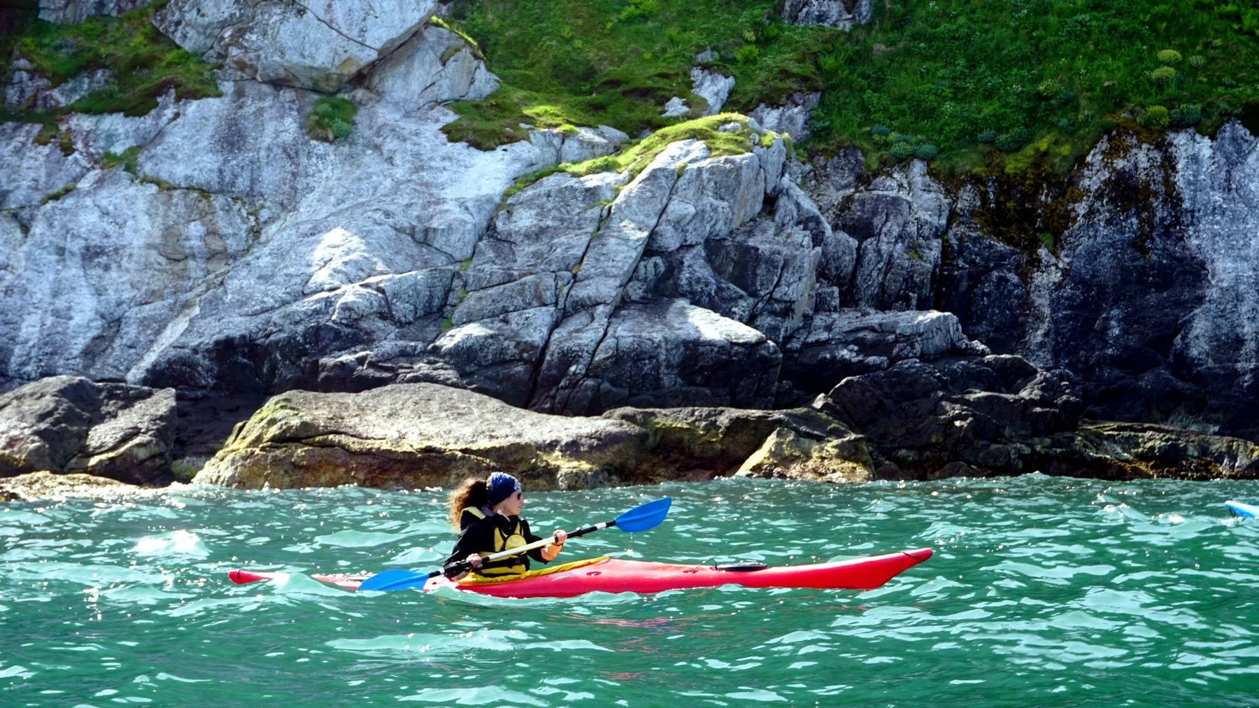
The kayak also changes what can be noticed. At sailing speed, an eagle may be a shape above the mountains. From a kayak it is possible to sit quietly beneath the coast and watch the same bird cross the water. Rocks, kelp forests, seabirds and the small details of the shoreline become part of the journey.
The two ways of travelling complement each other: sail when the coast opens up, paddle when it becomes intricate.
Wildlife & the Sea
The waters of Northern Norway support a wide range of marine and bird life.
White-tailed sea eagles are particularly associated with the Lofoten region and are frequently encountered around Raftsundet and Trollfjord. Seals, harbour porpoises, otters and many species of seabirds can also appear along the coast.
None of these encounters need to become a dedicated wildlife excursion. When travelling slowly by sail and kayak, they often happen as part of an ordinary day on the water.
That is perhaps one of the strongest reasons to combine the two.
Sailing between Tromsø and Lofoten
The journey between Tromsø and Lofoten is not defined by one famous sight. Its character comes from moving through the coastline itself.
Large passages alternate with protected channels. Cities give way to small fishing communities, and those in turn give way to islands with almost no buildings at all. Mountains that seem distant from the cockpit can become the walls of the next fjord.
Weather remains part of every decision. A route may follow the more protected side of an island one day and move into open water the next. Kayaking depends on the same principle: when conditions are good, the coastline opens up; when they are not, there is always another bay, another harbour or another passage to explore.
Travelling with both a sailing boat and kayaks makes it possible to move between these two scales — hundreds of nautical miles along the northern Norwegian coast, and then a few quiet metres from the rocks, beaches and fishing villages that give it its character.