Svalbard. The Unknown Arctic
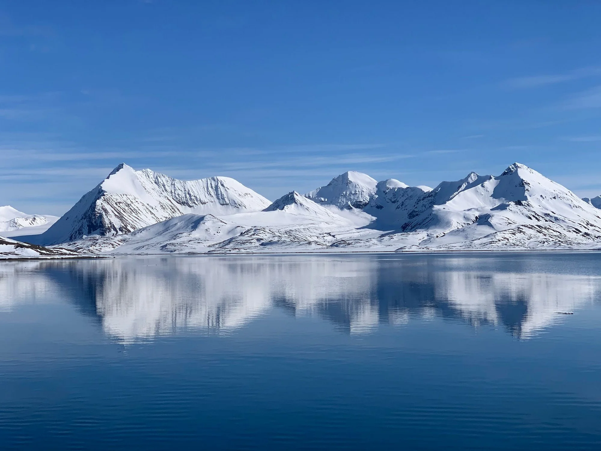
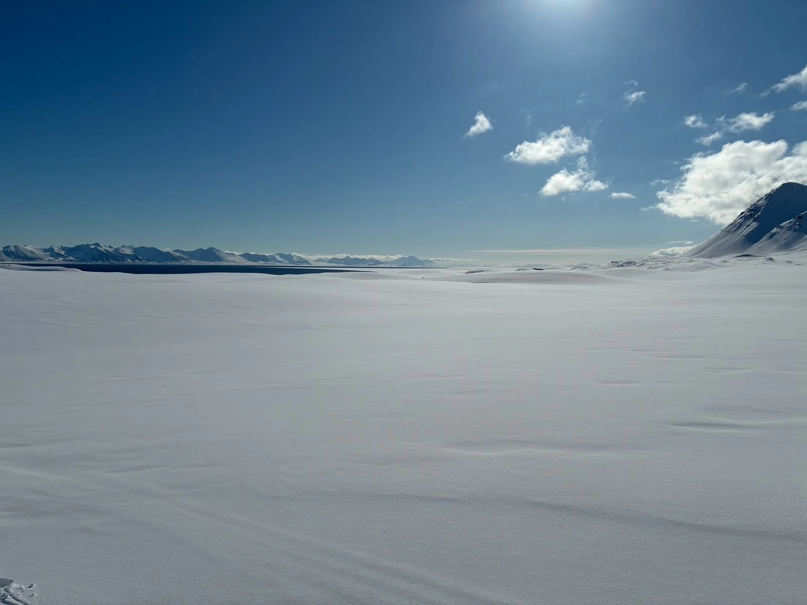
Svalbard lies far north in the Arctic Ocean, where mountains rise directly from the fjords, glaciers still reach the sea and settlements are separated by long stretches with no roads at all.
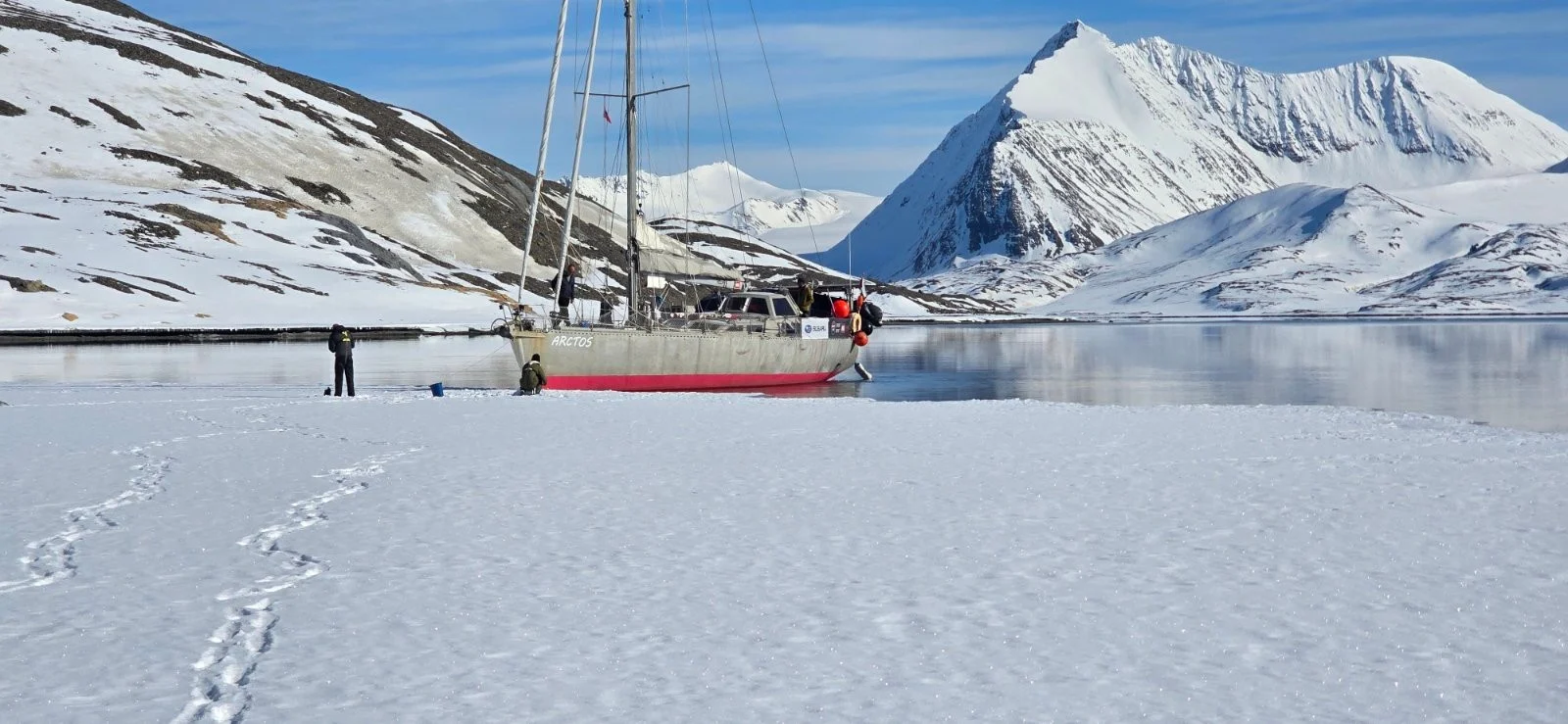
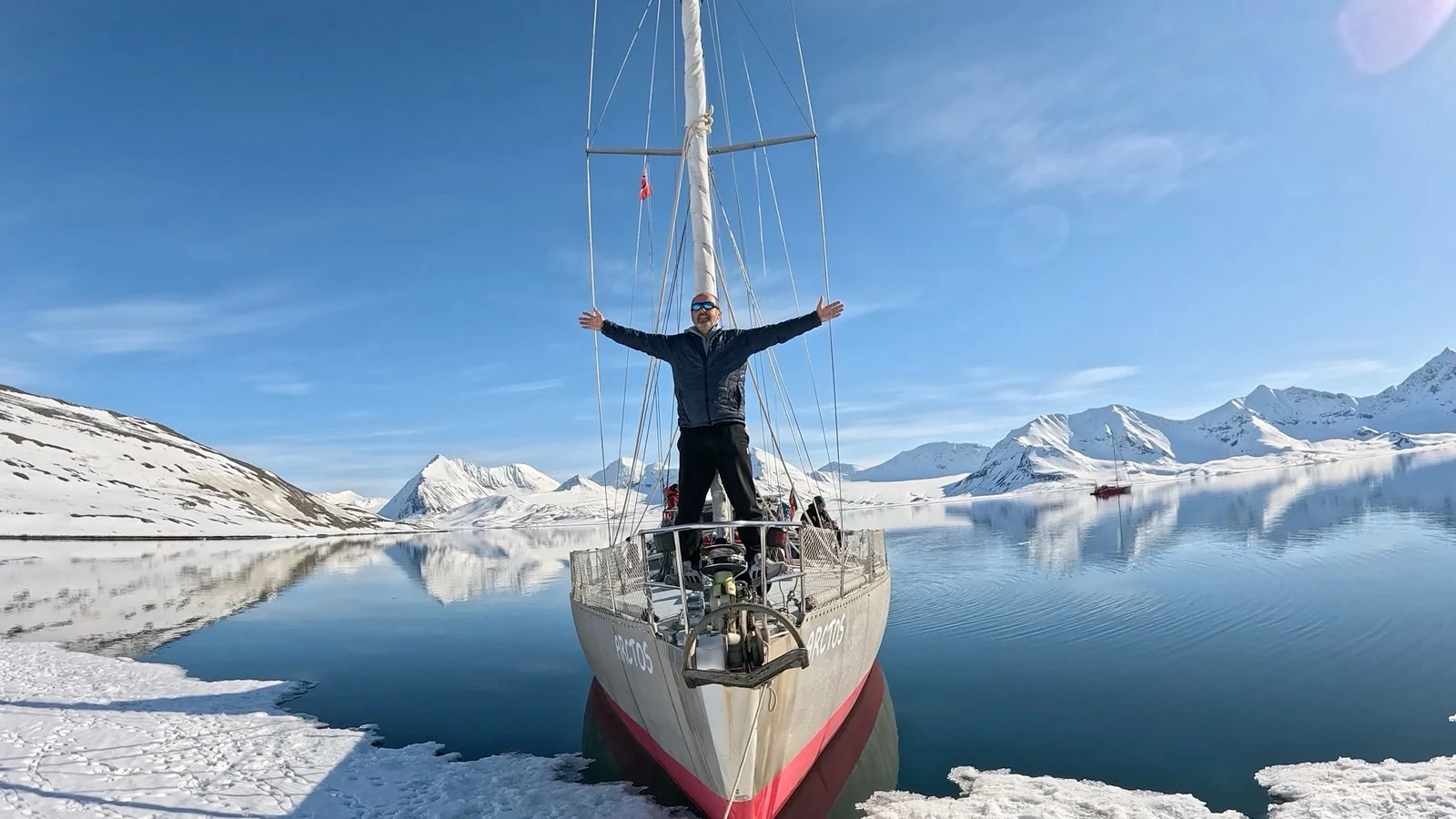
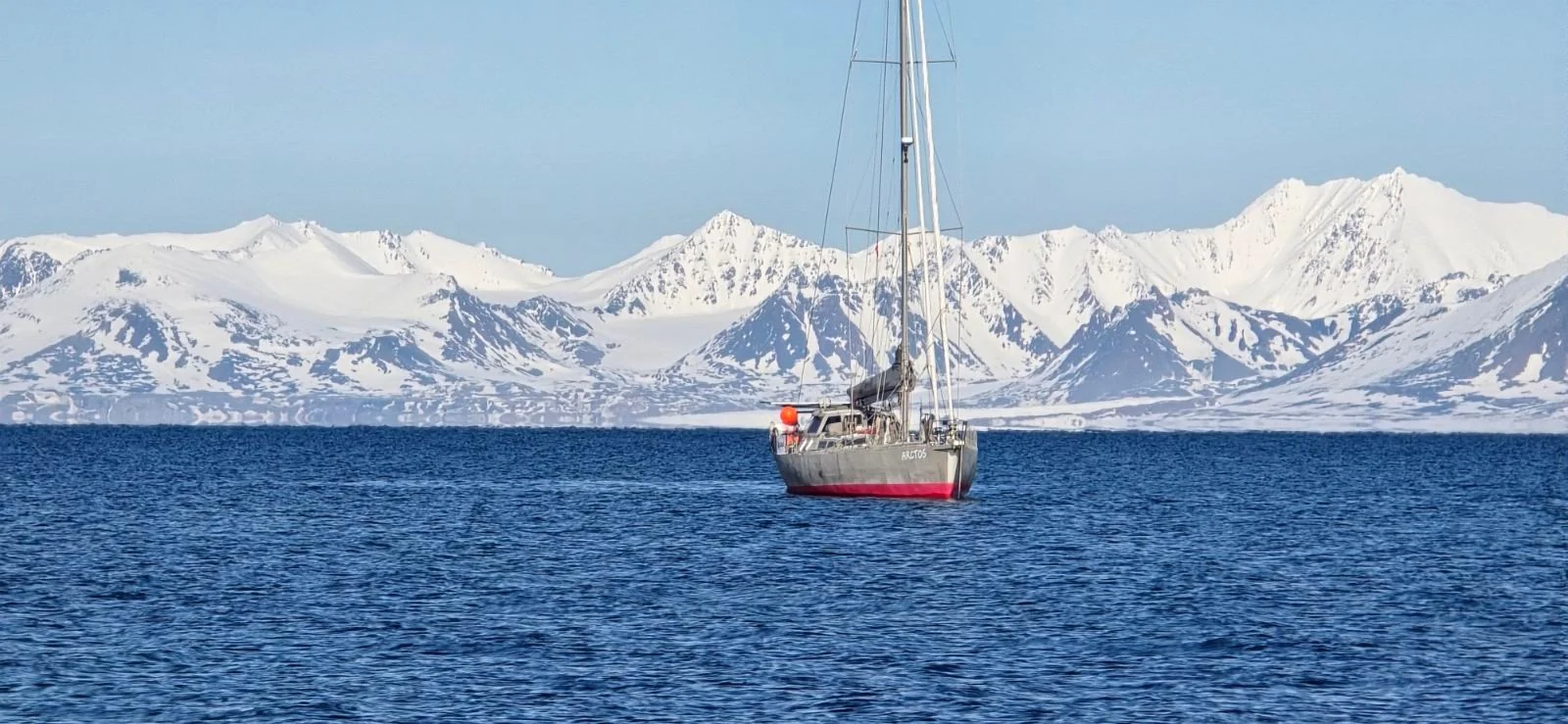
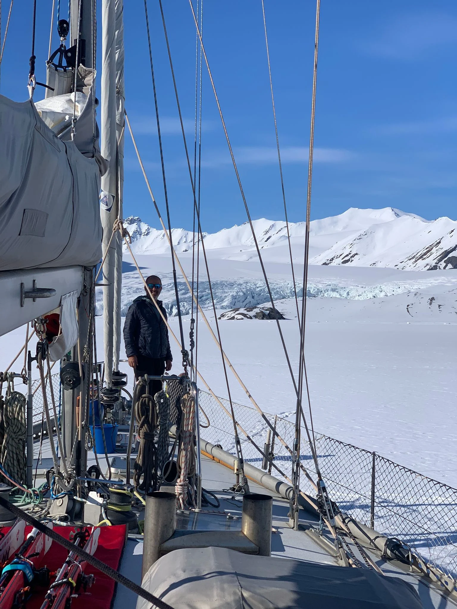
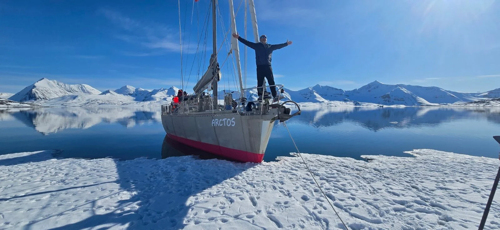
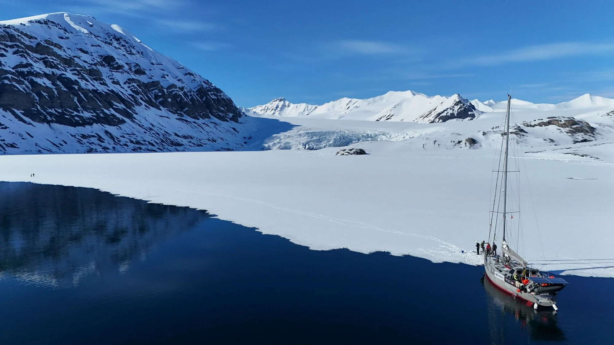
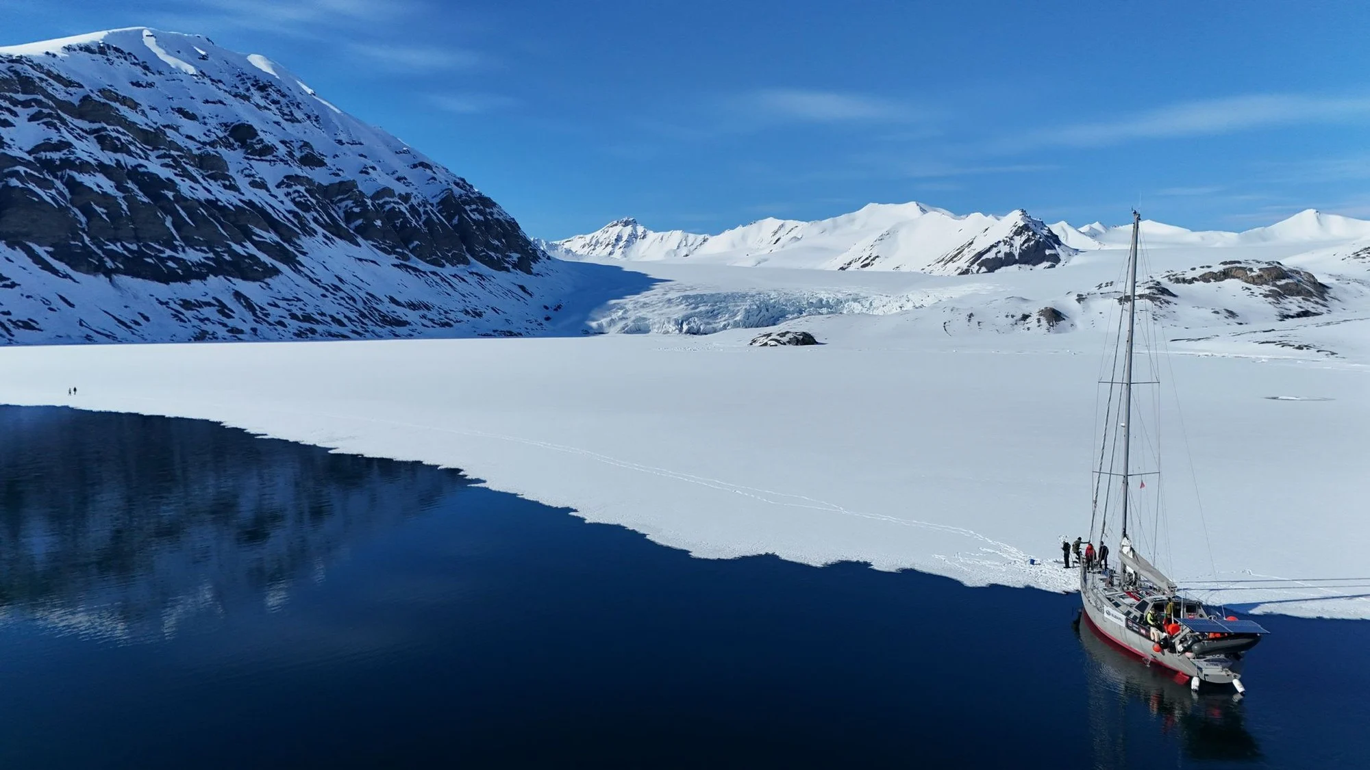
Travelling here by sailing boat changes the scale of the place. In summer it opens a coastline that would otherwise be difficult to reach; in spring the same fjords become gateways to ski touring directly from the sea. The boat is not simply transport between destinations — it becomes the base from which the landscape is explored.
Much of the route depends on wind, ice, snow and wildlife. A fjord that is accessible one week may look very different the next, and sometimes the most interesting place is simply the one that becomes possible that morning.
During summer, daylight continues around the clock. Glaciers can be followed deep into the fjords, seabirds occupy entire cliff faces, and Svalbard reindeer, Arctic foxes, walrus and seals are part of the landscape. Polar bears can occur anywhere in the archipelago, so every landing outside the settlements requires preparation and awareness.
Svalbard. Longyearbyen & Isfjorden
Longyearbyen is the practical centre of Svalbard and one of the world’s northernmost permanent settlements. Coal mining shaped much of its history, and old industrial structures still remain around a town now focused increasingly on research, logistics and polar travel.
Only a short distance beyond the settlement, the road network ends.
Isfjorden opens westwards from Longyearbyen and branches into several large side fjords. Glaciers, old mining settlements, bird cliffs and broad areas of tundra can all be reached within the same fjord system.
For a sailing boat, it is an unusually varied area. Protected inner waters may lie only a few hours from open sea, while individual branches lead towards places with very little human presence.
Pyramiden & Billefjorden
Deep inside Billefjorden lies Pyramiden, the former Soviet mining settlement beneath the mountain that gave the town its name.
Coal production stopped in the late 1990s, leaving apartment blocks, industrial buildings, a cultural centre and other parts of the settlement standing beside the fjord. It remains one of Svalbard’s more unusual encounters between human history and Arctic geography.
The approach by water is part of the experience. Pyramiden appears gradually at the end of the fjord, surrounded by mountains, while the broad front of Nordenskiöldbreen occupies the landscape nearby.
Bellsund
South of Isfjorden, Bellsund opens into several long branches surrounded by valleys and mountain ridges.
Different periods of Svalbard’s history have left traces here — whaling, trapping, mining and scientific exploration — but the human presence is now sparse again.
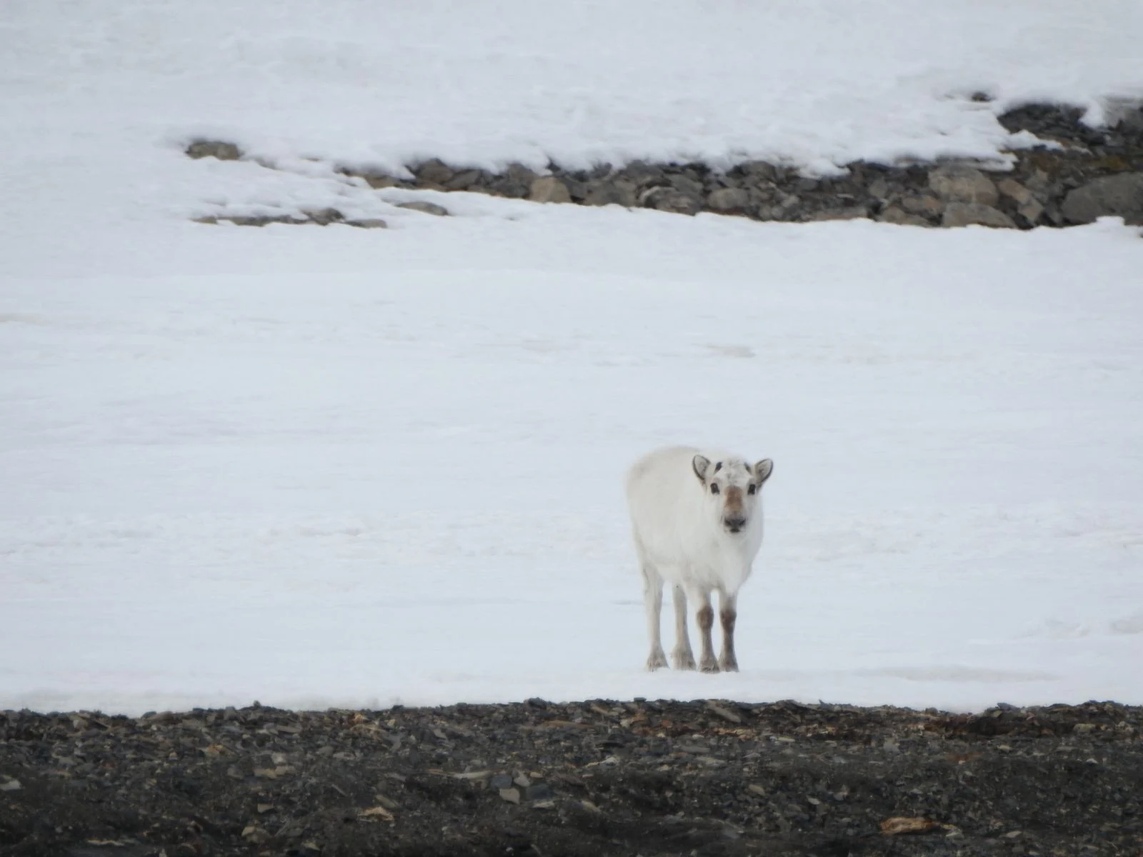
Broad tundra areas provide good habitat for Svalbard reindeer, while wetlands and cliffs become important nesting areas during summer. The shoreline shifts between beaches, old moraine, river valleys and glacier fronts, allowing very different landings within the same fjord system.
Hornsund
Hornsund reaches deep into southern Spitsbergen, surrounded by high mountains and several glaciers descending towards the water.
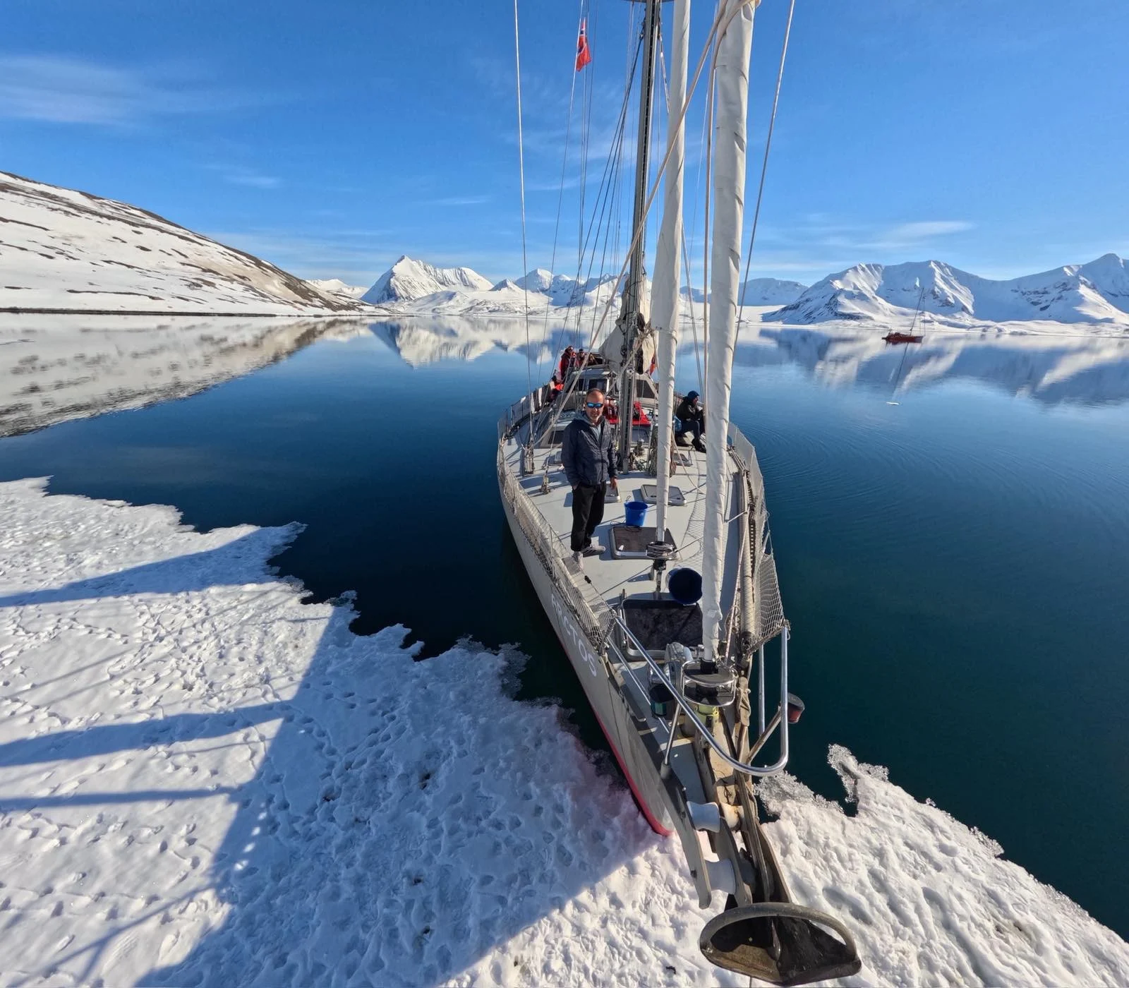
Floating ice often becomes part of the approach. In quieter conditions the boat can move through pieces that have recently broken away from glacier fronts, while the mountains and glaciers remain visible along much of the fjord.
Polish polar researchers have worked in Hornsund for decades, and the area continues to play an important role in Arctic science.
Seals use the ice and coastline, seabirds nest on the surrounding cliffs, and polar bears may pass through the region. Here particularly, the route belongs to the conditions rather than to a fixed schedule.
Kongsfjorden & Ny-Ålesund
Kongsfjorden combines glaciers, mountain ridges, wildlife and one of the most unusual settlements in the Arctic.
Ny-Ålesund began as a mining community and later developed into an international research station. Scientists from several countries now work here on climate, atmosphere, biology and polar environments, while parts of the old mining settlement remain among the newer research buildings.
The area is also connected to the history of early polar aviation. Roald Amundsen and Umberto Nobile used Ny-Ålesund during expeditions towards and across the North Pole by airship, and the old mooring mast still stands outside the settlement.
Several glaciers feed the fjord, while seabirds gather along the coast and reindeer are often seen on the surrounding tundra.
Prins Karls Forland
Prins Karls Forland is the long island running parallel to the western coast of Spitsbergen. It has no permanent settlement, and much of the island and surrounding waters are protected.
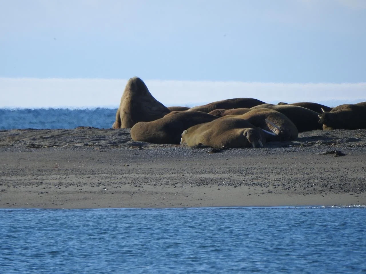
The coastline alternates between mountain slopes, broad lowlands and shallow coastal areas. Walrus are particularly associated with this part of Svalbard, using low beaches and coastal points as haul-out sites.
Its exposed position also means that swell and weather from the open sea are more noticeable here than deep inside the larger fjords.
It is a good example of what travelling by sailing boat makes possible in Svalbard: an entire island with almost no human infrastructure remains only a passage away from the more travelled west coast.
Northwest Spitsbergen
The northwest corner of Spitsbergen holds some of the archipelago’s strongest links to the early history of Arctic exploration and whaling.
Fjords cut between mountains and glaciers, while small islands lie scattered through the channels. In several places, remains of seventeenth-century whaling stations and graves are still protected along the coastline.
Magdalenefjorden is one of the better-known fjords in this region, with glaciers at its head and mountains rising around the bay. Nearby areas were used by whalers more than four hundred years ago.
Farther north, sea ice begins to play an increasingly important role. Even during summer, the position of the ice edge can change what is possible from one week to another.
Ski Touring from the Sea
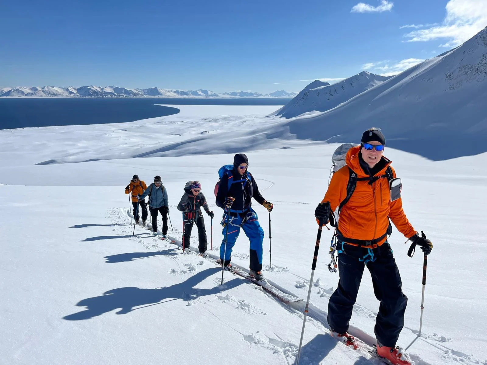
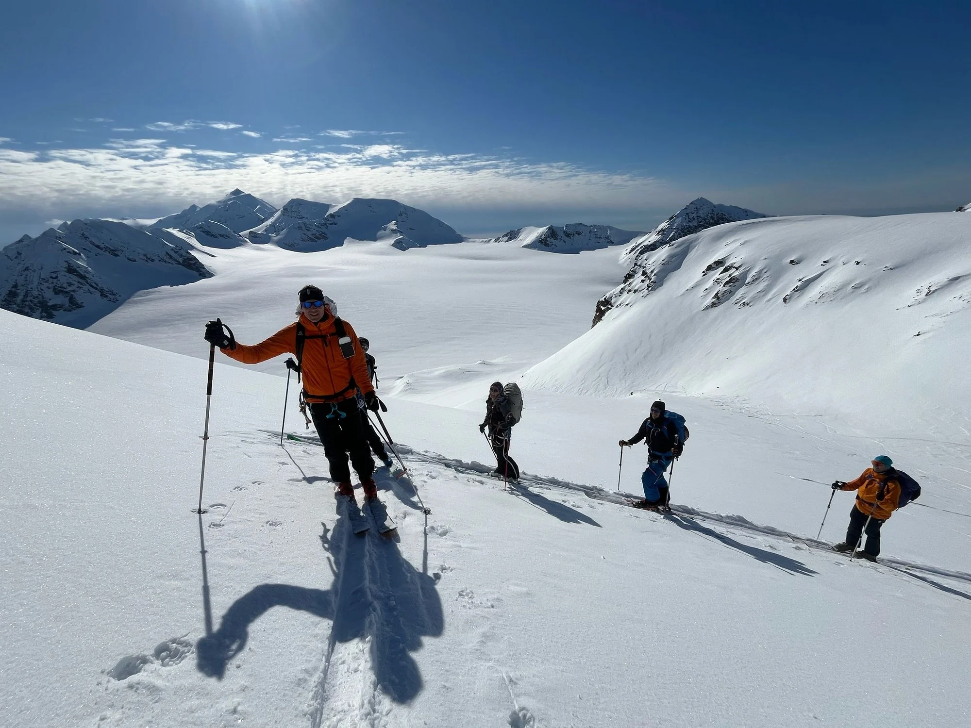
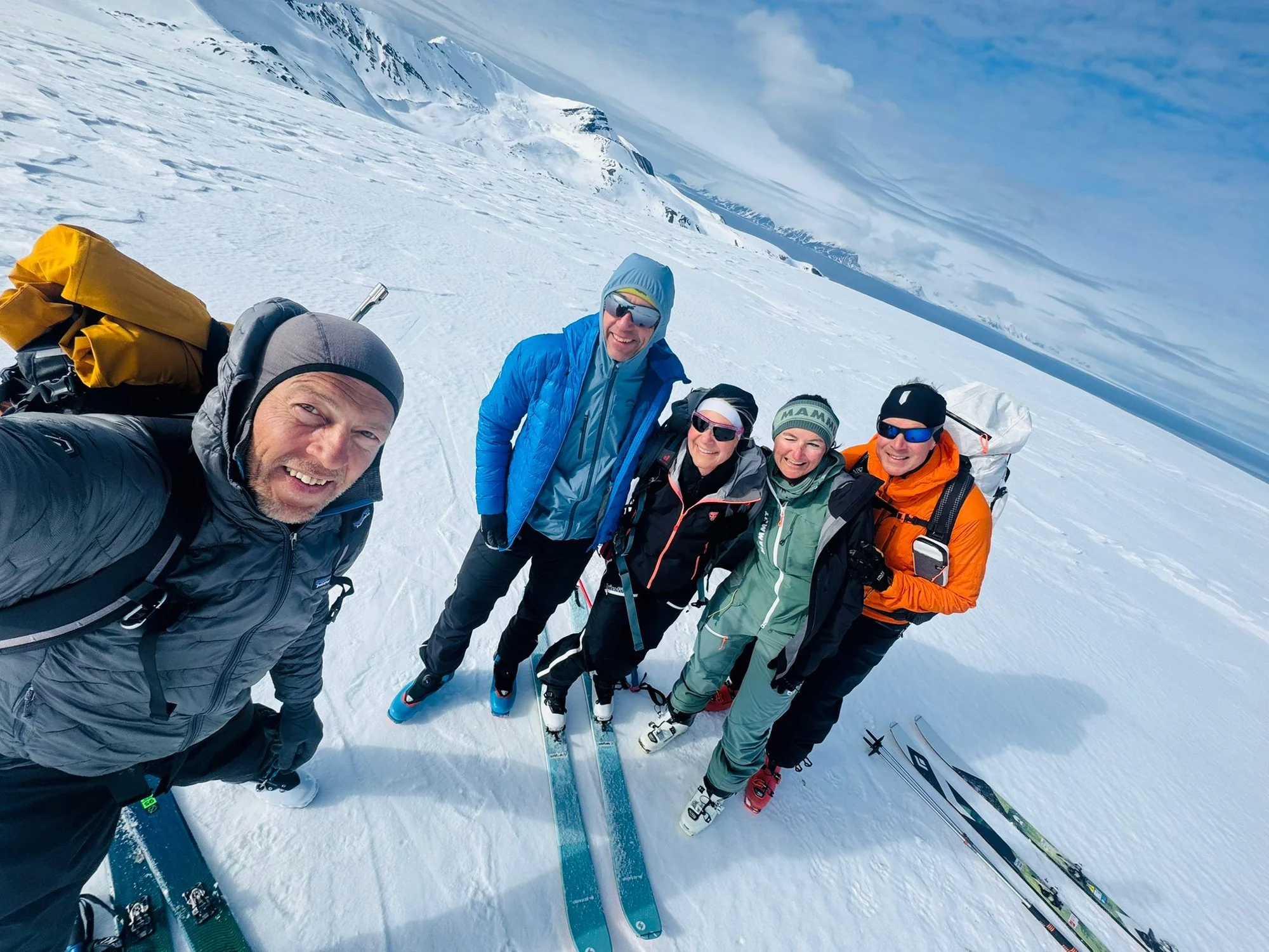
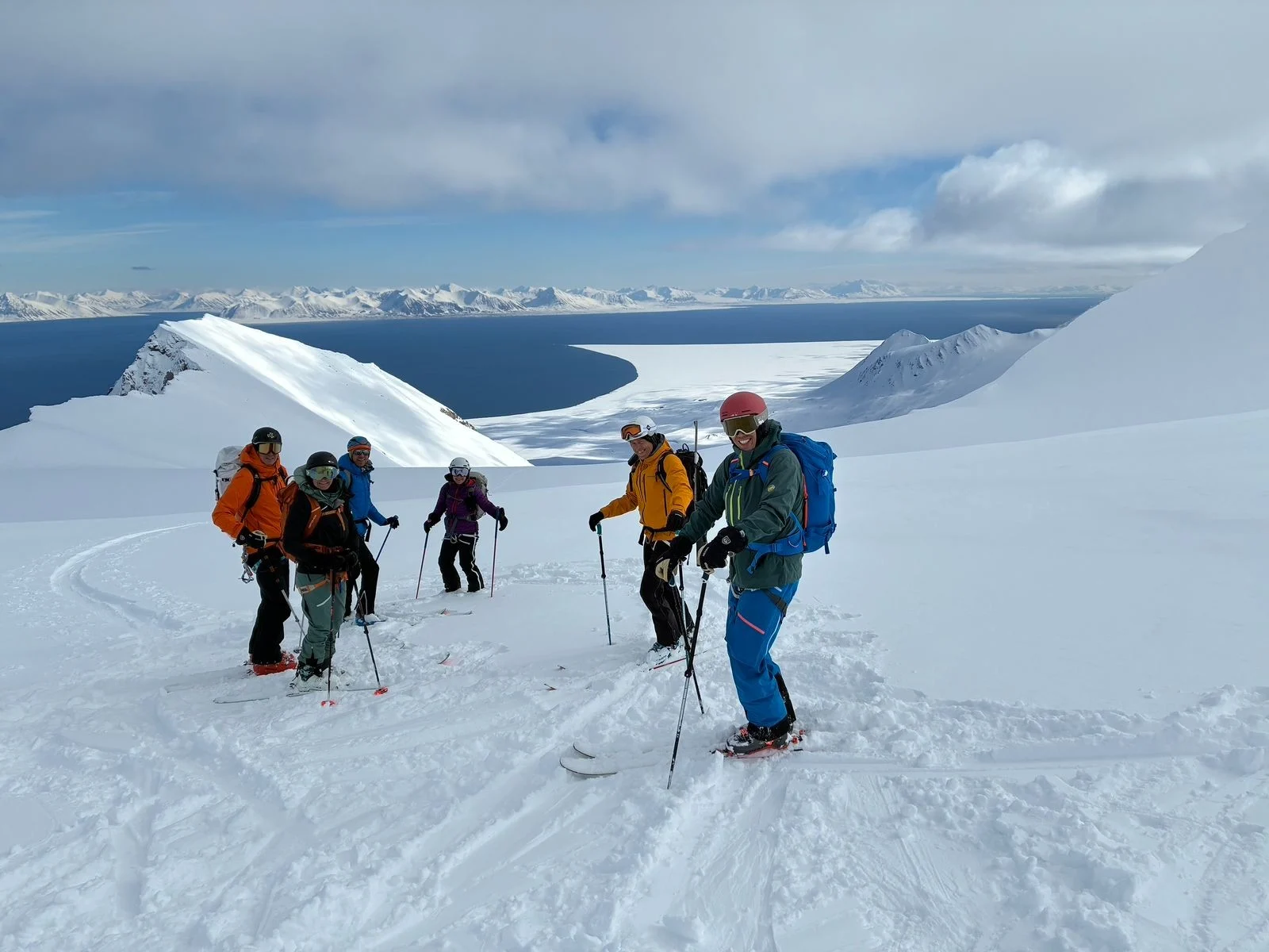
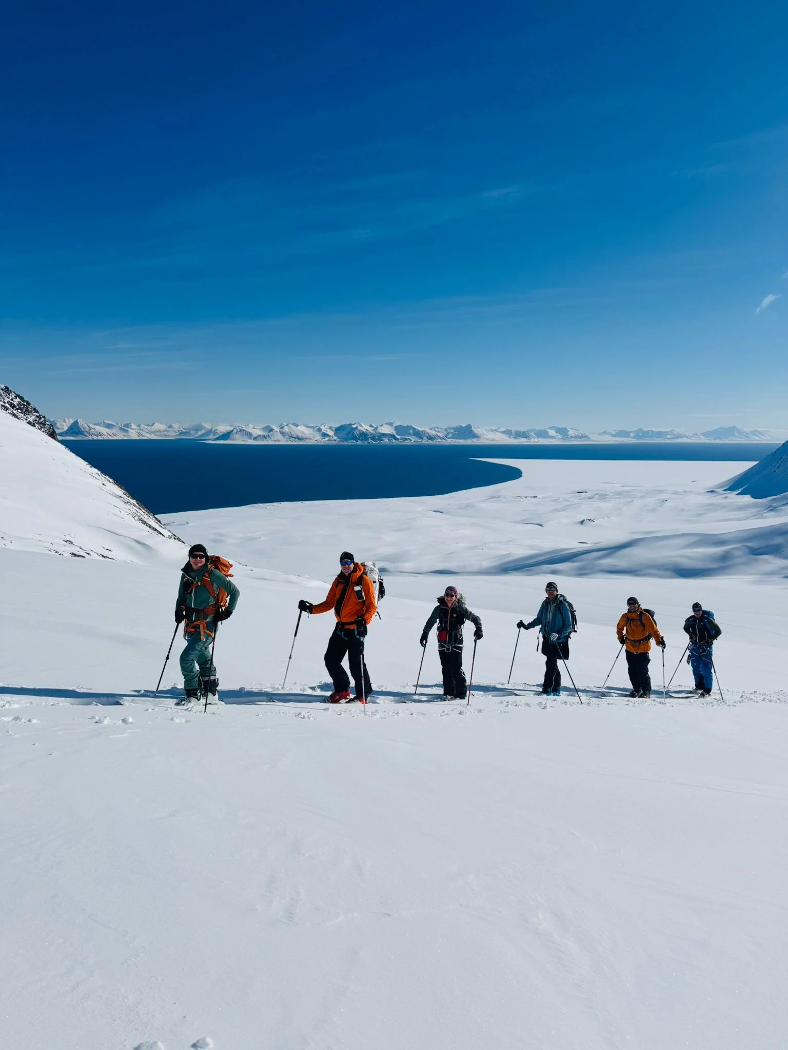
Spring gives Svalbard another character. Snow still covers the mountains while the fjords begin to open for boats, creating the conditions for one of the most interesting ways to explore the archipelago: moving between ski touring areas by sea.
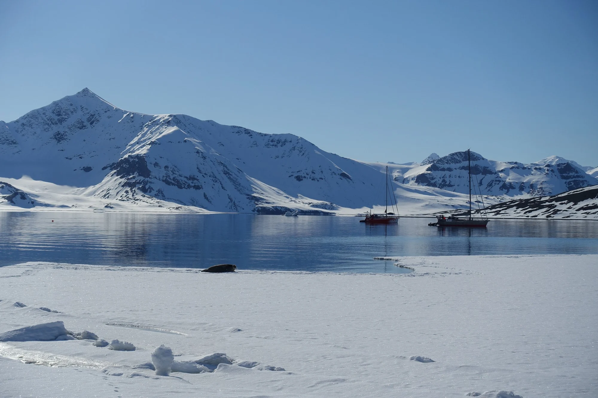
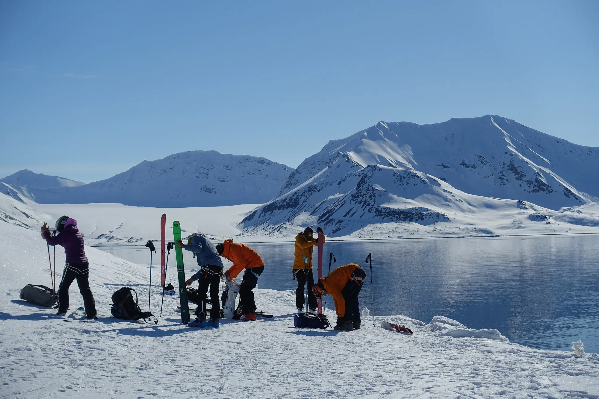
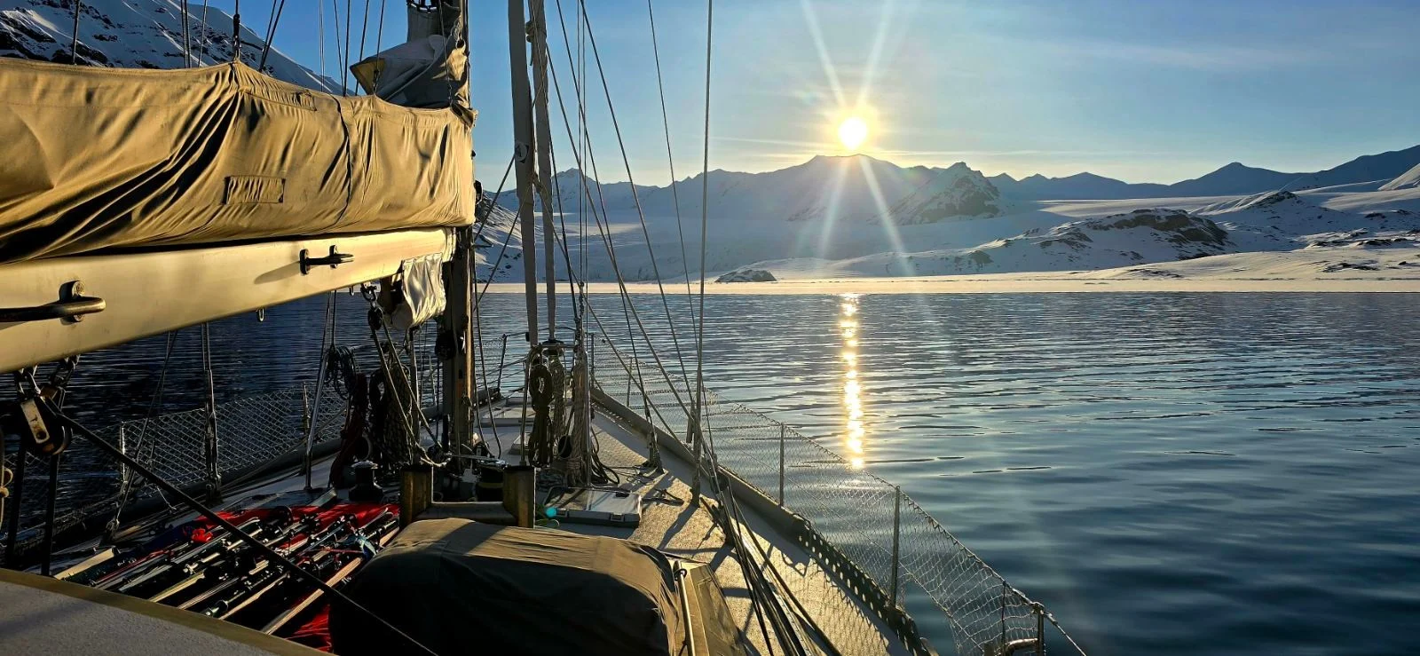
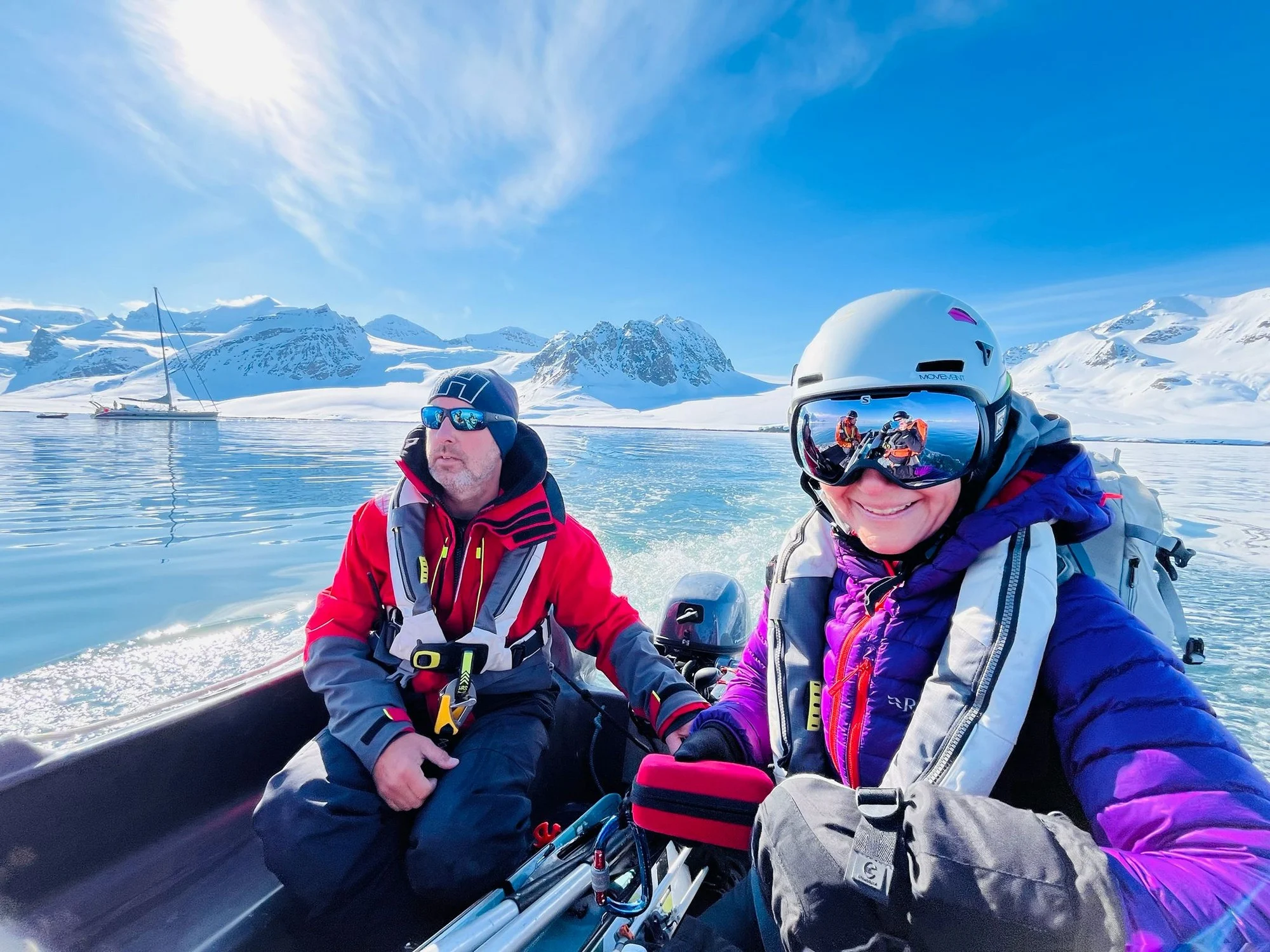
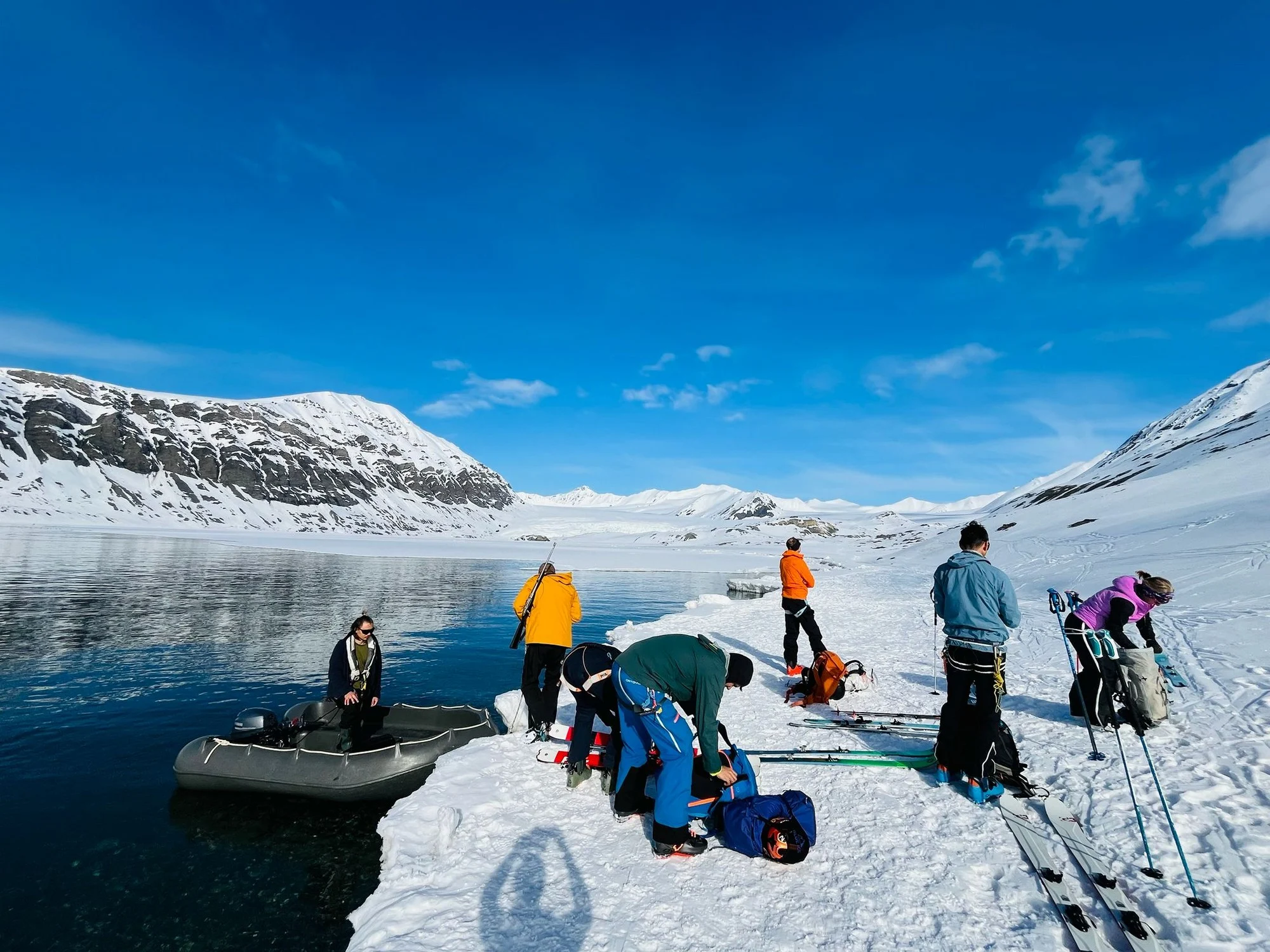
The boat becomes a travelling base. Instead of returning to the same valley each day, it is possible to anchor in a different fjord, go ashore by dinghy and begin climbing almost from sea level.
Many of these mountains have no road access at all. Some slopes are rarely visited except by people arriving from the water.
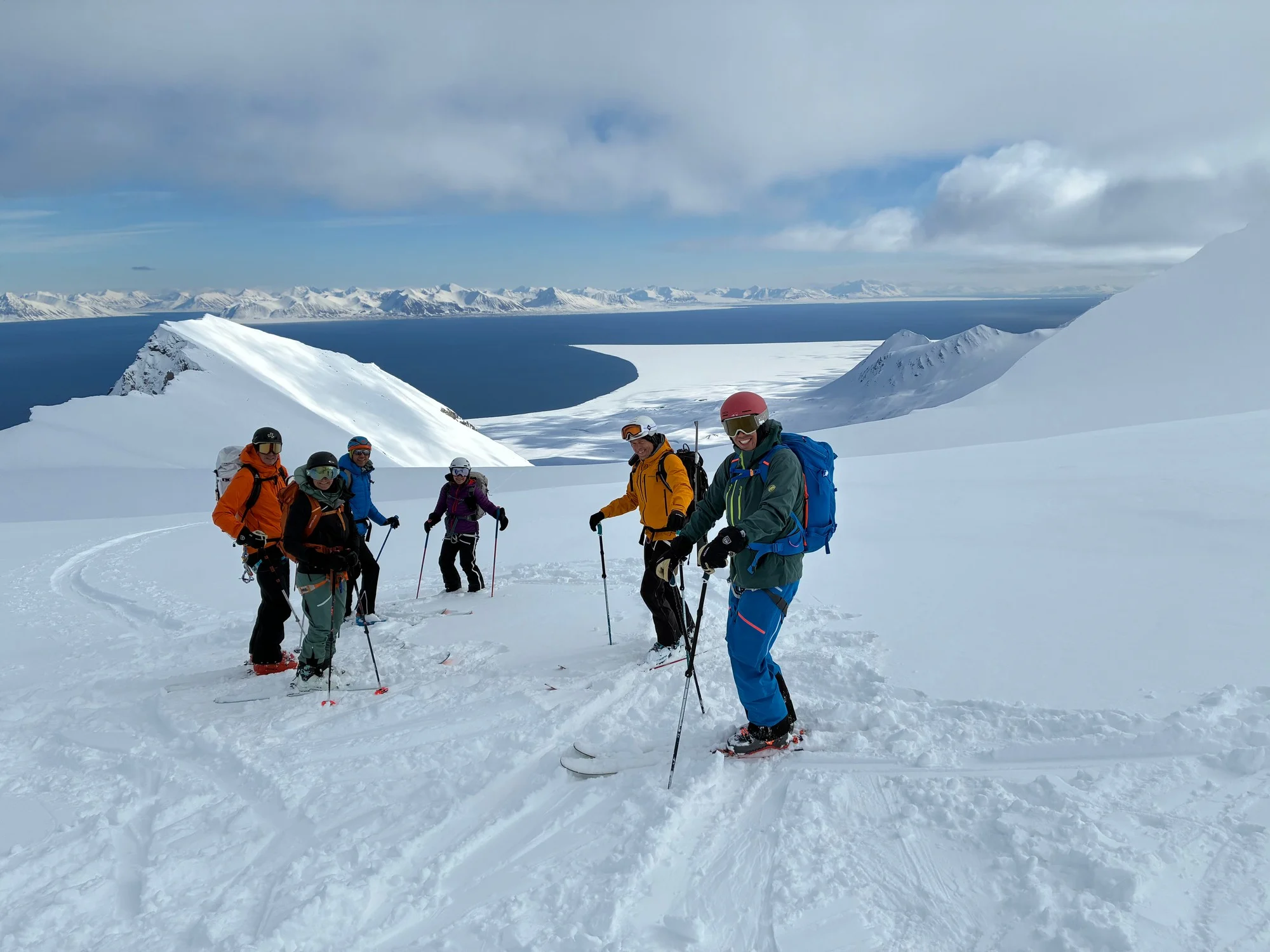
Tours can lead from the shoreline onto broad snowfields, ridges and Arctic summits, followed by long descents back towards the fjord and the boat below. During the Midnight Sun season, daylight is no longer the limiting factor; snow, wind, visibility, sea ice and avalanche conditions determine where it makes sense to go.
That flexibility is part of ski touring in Svalbard. A planned summit may be replaced by another valley or another fjord if the conditions change. The sailing and the skiing work together — the boat provides access, while the landscape decides the route.
Wildlife & the Sea
Wildlife in Svalbard is not confined to particular reserves or viewing sites. It can appear almost anywhere along the route.
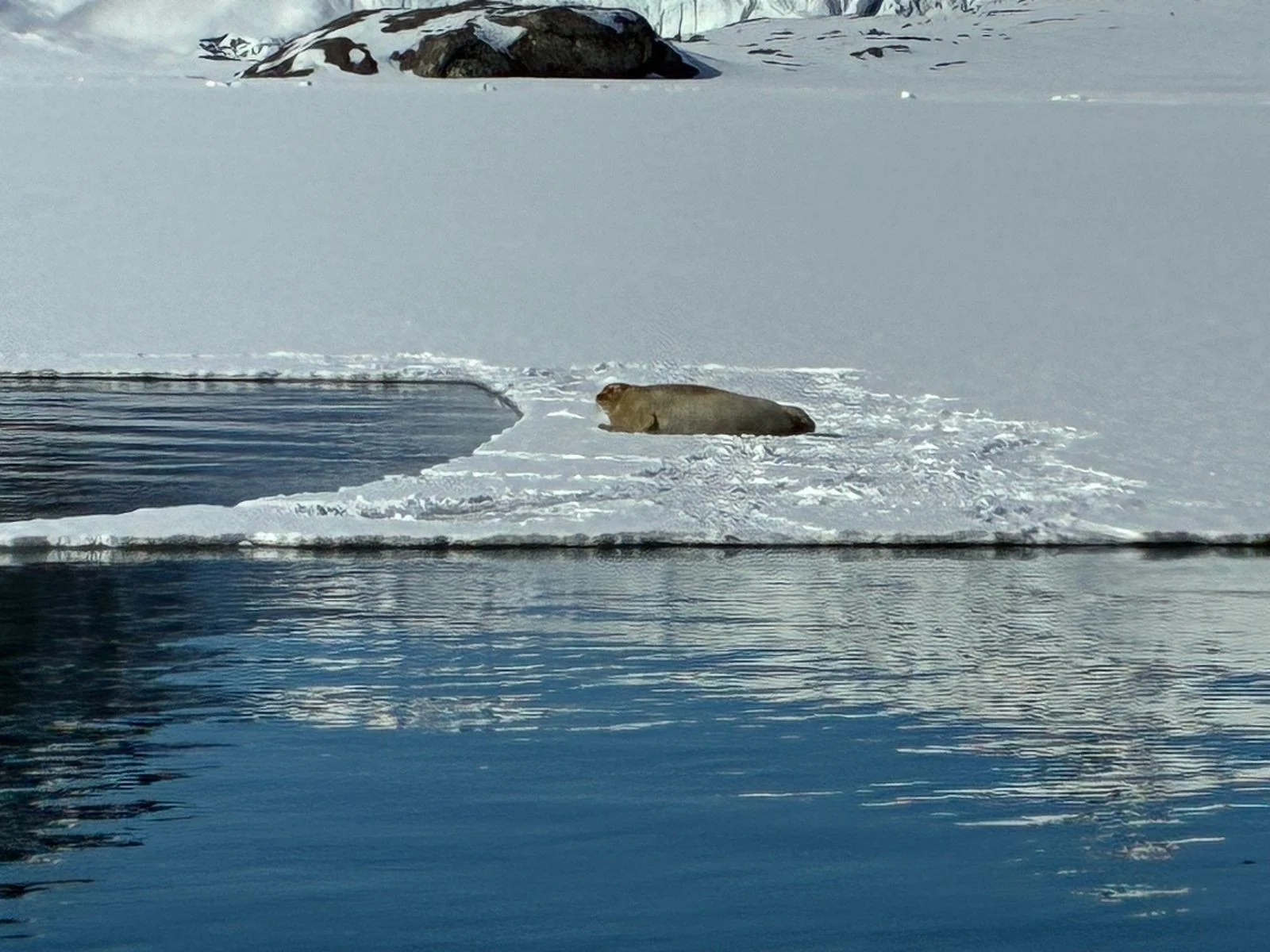
Walrus rest on beaches and ice. Seals move between fjords and glacier fronts. Arctic foxes follow the coastline and bird colonies, while Svalbard reindeer graze across open tundra.
Whales are also encountered around the archipelago, both offshore and inside some of the larger fjords.
Polar bears are different. They are not animals to approach or seek at close range, but their presence influences how people move through the landscape. A planned landing may simply be abandoned if conditions or wildlife make it inappropriate.
That uncertainty is part of travelling here responsibly.
Sailing in Svalbard
Sailing in Svalbard is less about completing a fixed list of destinations and more about using the boat to move through a changing Arctic environment.
Glaciers create local winds, floating ice can appear well beyond glacier fronts, and conditions may differ considerably between neighbouring fjords. Some anchorages lie deep between mountains and can become almost completely still; others remain open to swell and weather from the sea.
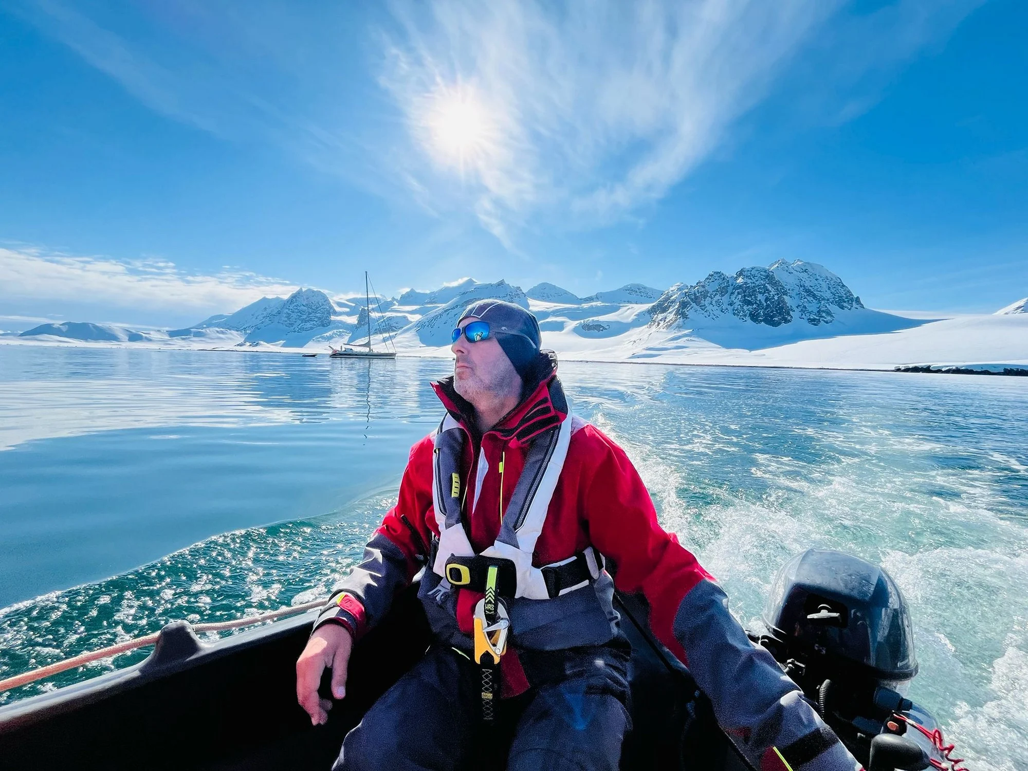
Outside the main settlements there are few conventional marina facilities. The boat becomes the base for navigation, meals, watches, landings, ski tours and the quieter hours spent at anchor.
This is what makes Svalbard particularly suited to exploration under sail: roads reach only a tiny part of the archipelago, while the fjords connect landscapes, glaciers and mountains that are still most naturally approached from the water.